Pipestone National Monument

Pipestone National MonumentLocation: Pipestone, MN

Trail Length: 3/4mile paved loop


Cost: $7 entrance fee for anyone 16+ (don’t forget seniors can get a $10 pass to all National Parks that will cover an entire family entering with them)

Just an hour down the road from us is the Pipestone National Monument. So we loaded up three generations worth of the family and headed out for an afternoon of exploring. The location is rather small but perfect for anyone to access with relatively short, flat, paved walking paths.


The facility looks like it hasn’t had a facelift in thirty years but is well maintained. In the building there are a few cases displaying different examples of the stone and some of the pipes that have been carved out of the stone. There is a theater with a short film that plays that explains the value the native population put on the stone and the significance of the quarry. The film is a must see before going out to walk as it helps you understand the difficulty of the mining and the techniques being practiced to mine the stone. The building also houses a small gift shop and most interesting has a pipe carver in residence who can discuss the carving process and show works in progress.


When you head out the back doors to stroll you see a whole host of various open pits, some filled with water some with tools littered about. There isn’t much shade so prepare for the sun to hound you most of the way. There are several points of interest along the way such as looking at a “face” through a hole in the stone, a waterfall that you can see from above and below and the stream itself that flows throughout.


It would be wise to keep smaller children in strollers since there are open mine pits all over. It doesn’t take longer than two hours to see the entire site. Overall a nice way to spend an afternoon learning a little history and having a nice stroll. Perfect for when family is visiting the area and you want to show them something regional. 


Marion Lake Trail, Great Bear Wilderness, Essex MT

Trail: Marion Lake Trail #150

Location: Great Bear Wilderness Area, Flatthead National Forrest, Montana (near Glacier National Park)

Distance: 7 miles round trip


We experimented with taking the Amtrak, Empire Builder Train from Fargo ND to Essex MT in order to explore hiking options in Glacier National Park and the Great Bear Wilderness Area. The good news is that it is entirely possible to use the train service to deposit one’s self on the doorstep of the wilderness. The train was about an 18 hour trip that left at 3:30am and had us arrive at 7:30pm. Our reservations at the Issak Walton Inn included a van pick up at the train stop. I would suggest to anyone to stay at the Inn for at least a night to get clean and rested and ready to hit the trail in the morning.

With the kids (5, 8, and 10) in tow we set out for the Lake Marion Trail #150 from the Inn for a day hike to take the kids into a wilderness area for the first time. Take the bridge over the railroad tracks, follow the fire road left, and you will find the trailhead a ways up (roughly a half mile-mile) on the right. You immediately begin to ascend and spend most of the time to the lake marching upwards.

The trail has you wading through huckleberry bushes, and raspberries and blueberries along with the pine forest all around. The total elevation gain is about 2,000 feet which leads to ever increasing mountain views peek-a-booing through the trees. Since it is a heavily berried path, it is advised to carry bear-spray. We had ours but saw surprisingly little evidence of recent bear activity. From doorstop to lake the hike was right about 3.5 miles. The stream runs along your left for the majority of the way and you can hear it, but since you are climbing the side of the mountain don’t expect to be able to fill your water bottle until you are nearly at the lake. The overgrown nature of the trail left us with fairly damp clothes that picked up the rainwater gathered on the bush leaves.

Once there, the lake is perfect for a day of picnicking and fly fishing. The water was shallow and still, only broken by the little fingerling trout fly feasting. We saw leeches swimming along the shallows from the shore so I don’t know if I would do much swimming myself. The calm grandeur of the mountainsides sweeping down and the lakes surface reflecting the billowy clouds, blue sky and mountains green makes it a worthy prize after a long uphill hike. With the kids we landed there late in the day and had to start back too quickly, in the future I would definitely bring the tents and fly rod and spend a night or two just soaking it in.

With the downhill nature of the return hike, we were back snug in our warm beds much quicker than the time it took to venture in. Gear must-haves would be lays of clothes and enough rain gear to weather an unexpected shower as the mountains hide gray clouds that sweep in quickly. An excellent first venture for the kids into a wilderness area.  

Rainy Day Hiking in the Mendocino National Forest

    
Highway 162 (Covelo Road) up Indian Dick Road

Visiting Northern California during the spring of an El Nino year means rain. Waking up to a morning where the sun broke through the living room window seemed like the best chance to see how far up toward the Yolla Bolly Wilderness Area we could make it before the snowy roads cut us off. We grabbed rain gear, snacks and the 4 wheel drive and off we went. The clouds rolled in quickly as we cut along the Round Valley floor, since it was clear we weren’t going to beat the rain, we stopped in at the Covelo Ranger Station and discovered they have created two new wilderness areas we were unaware of existing in the region; the Yuki Wilderness and the Sanhedrin Wilderness with a dedication ceremony set to happen later this March. I also found out that in National Forests dogs are welcome on the trails if they are on leashes, as opposed to the National Parks where dogs aren’t generally allowed outside of developed areas like campgrounds. Next time I plan a family road trip that includes the puppies I will have to map out a National Forest route.

   
 We headed out past the other ranger station and up Indian Dick Rd. where we found water falls shooting out of the mountainside, vistas of the river in full roar, blooming trees and a mix of snow and slush showers. The going was slow with lots of trees down along the road but we made it to the snowline. The national forest runs along the left side of the road but the right is privately owned and it takes a bit of driving to feel confident that you won’t be trespassing and with the pot gardens dotting the hillsides you don’t want to stumble upon a plot inadvertently. Along the way we spotted one trailhead but it was in the midst of a burned out area of forest which would lead to a day of over and unders on the fallen trees, so we opted for an access road that was leading up for a few miles to see what we could see.

  It was a nice wide road but it was made a bit difficult by the running water and the continual incline. It didn’t take long to hit snow and wish for some warmer gear. Though I did thank my South Dakota acclimatization for helping me feel comfortable in the 34 degree drizzle. We came prepared for short jaunts into the rain and so we had our raincoats with a few layers underneath. The water would pool a bit on my hood and I found it fun to dip my head and watch the cascades of water rain down. After a bit the water started penetrating my legs and they grew numb, similar to when you go running in the rain. But it was worth the discomfort to get to hear the water rushing down all of the waterfalls and to feel the mysticism of the foggy mist rising along hidden meadows you could imagine housing mythical beasts.

  There were burrowed holes all over that were probably made by the wild pigs and we followed coyote tracks in the snow for a good bit of the way. The snow covered in a patchy way that lead to surprising patches of green moss and some mushrooms popping out as if Smurf village was snowed in. The forest showed fire damage in places and it was striking how the Manzanita can be just as lovely even when charred.

  
  We went until we came across the main water flow and realized we would be wet-booted no matter which way we attempted to cross, which seemed like a good indicator it was time to turn and head back to the car. It was good to go out and practice hiking in inclement weather. It wouldn’t have been bad to set up and dry tent and roll into a warm bag at the end of the afternoon, but it was nice to instead turn on the butt-warmer in the car and arrive home to hot bowl of Grandma chicken noodle soup and a spot next to the warm wood stove.

 Mendocino National Forest website

Blue Mounds State Park, Minnesota (repost with pics)

Location: 1:20 minutes away from Brookings, SD just north of Luverne, MN.  
Distance: 13 miles of trail
Difficulty: Easy- day hiking for the whole family
Dogs allowed on leash
  Mother’s Day (2015) hike with the entire family at the Blue Mounds State Park which is an easy drive from the house, perfect for a quick day hike. The climbers I know keep inviting me to head to Blue Mounds for the climbing, so I wanted to go do a bit of reconnaissance; and when I looked it up online and found it had 13 miles of trails and a buffalo herd, I was sold. 

  The hike itself is the perfect high interest trail for the kids to get involved in. There are many trail markers/sign posts for them to stop at and practice their navigating skills; as the entire trail is mowed it is impossible for them to get lost. We started heading out along the bison field; which kept the kids moving along as they were seeing who would be the first to spot the herd. The only downside being that you are hiking along a huge prison-style fence; which is a pretty good scene killer. There were several false spottings of boulders but once we did find the herd, it was the perfect opportunity to sit on a big rock and have our snack. 

  The trail is essentially an oblong loop along the ledge of the rock wall. For the three hours we were there we saw an impressive number of animals. Bison herd, white tailed deer, a snake, a whole host of insects, vultures and assorted birds. The terrain is slightly rolling but gentle on the knees. The kids had a blast hunting the cactus and watching for animals. The trail is a perfect family day out.
  While we only had a short time to explore the entire family agreed it is a great spot to go back and check out again. The park has done a really good job of making itself interactive and enjoyable. The signs stated that we could rent canoes, check out fishing equipment (free), bird watching equipment (free) and there was a scavenger hunt/geocache along the trail. The trailhead sports a vault toilet, volleyball and a swing set. This is just a very enjoyable little place to bring the whole family and enjoy a picnic, view some wildlife and get a little (though mild) trail action. 

  Final thoughts- high interest level for the kids and nice and relaxing for the parents. Not a bad way to spend a day!

  http://www.dnr.state.mn.us/state_parks/blue_mounds/index.html

Love Your Local State Park

Love Your Local State Park -Oakwood State Park

  30 minute drive from Brooking, SD

Roughly 4.5 miles of trails

Unlimited free visits with annual state park pass ($30 annually)


 One of my favorite not so secret secrets in and around Brookings is Oakwood State Park. Our family heads there year-round for a chance to get out and wander in a bit of nature. It astounds me how the kids can climb into the car after school some afternoons looking downtrodden and morose; I say it is a nice day and we need to go walk the dogs, I swing by the house and grab the dogs and then a half hour later the kids climb out of the car with grins and vivaciousness while running toward the trail. They immediately launch into the imagination games they only play together when out on hiking trails. A priceless retreat from the drudgery of school and work. It works every time.

  Oakwood offers just about any recreation you can want on a small scale. For our family it is a way to quickly get out on a whim and enjoy a short hike, or shore fishing – not to likely catch a fish but just for an afternoon of playing along the shore and thinking we are fishing (kids are still young enough that they don’t spend much time with a pole in hand anyways), and we have found some great pavement that isn’t well traveled for some hilly skateboarding.

  I would call us opposite season enthusiasts. In the summer the park is teaming with campers and bicycles; when we do head over to float in the lake, I admire the comradery of the camper villages with lawn chairs encircling fire rings, and games of corn-hole and kids leisurely biking down to play in the lake. But it ultimately feels crowded and too tamed, a bit trampled if you will. For souls that seek solitude in nature, to wander unnoticed except by the birds and critters, it doesn’t fit the bill. Fortunately in South Dakota the trailers roll in and out on a clockwork season from Memorial Day to Labor Day, and for the other two-thirds of the year the park is blissfully vacant. If you go mid-week you rarely see another person; and in mid-winter you can be the only car in the entire place.

Tetonkaha Trail

Distance .8 mile

  This is my favorite place in the whole park and we get on this trail at least a few times a month with the kids. For one thing this trail circles the perimeter of Scout Island, which has a nice history that is told in placards about the Boy Scouts using the island. They have recently installed a trail head sign that includes brochures and scavenger hunt lists that the kids love to take along on our walk. When you hit the tip of the island there is a bench that is a natural resting spot to sit and enjoy looking out over the lake and look for what birds or fish might be around. There is a mailbox nearby with a card instructing kids to take a picture of themselves by the box. When you leave the park, you can stop by the office and show them your picture from the day to get a prize. The kids are always excited by this idea. I like that the island is naturally enclosed and I can feel comfortable letting everyone have a bit more freedom to explore at will, since when you park you can see if there are other cars there, and most of the times that we go out there are rarely other visitors on the trail at the same time. Our own private island to explore – priceless!

  
Prairie Trail

Distance 1.2

Another nice trail to feel like you are out in a bit of nature and away from the world. This trail leads through a bit of forrest near the lake and also cuts across the prairie grasses. You can see this trail as you drive to the park since the road intersects it. It seems longer than 1.2 miles so I will have to pay closer attention the next time we do this walk and see if we are inadvertently combining this with one of the other shorter trails. This trail doesn’t have any of the hiking signs, scavenger hunts or other established materials to keep the kids entertained, it feels more like hiking and is intresically enjoyable. The kids feel like they have earned sitting on the few benches and munching a trail snack with a bottle of water.

  Mortimer Shoreline

Distance 1 mile

I have only really done this section once or twice. It runs along the main lake and is close to much of the campgrounds and road. It feels exposed. I always see ski tracks in the winter and think it must be a great levelness for cross country skiing.

Oakwood Trails Map 

 In the four years we have been in this region our family has made many happy memories at Oakwood. When we first visited my husband dismissed it as not wilderness. True, it is a very tame park, but I saw what it was perfect for. With a family of young children, it is the perfect training ground for bigger adventures in the wilderness. It is so close that we don’t need to spend any time prepping or packing to go, if we are hungry or the weather turns; we just head home. The kids go regularly enough that we can talk about the changing seasons, the various animals and their seasonal habits, and the kids realize outdoor fun is available no matter what the weather. With activities like the snowshoe race and the kids ice fishing tournament being fun memories. I find any excuse to head out for a little while and have used the park to entertain guests and as a training ground for bigger hikes.

  Oakwood still has many adventures waiting for us. They host many events designed to help kids get closer to the possibilities available in the outdoors. The kids are strong enough swimmers now that we will rent canoes this summer and also spend more time at the beach. We also hope to rent a cabin for a few days just for the fun of it. I am grateful to have so much waiting just a short jaunt down the road.


Oakwood State Park Site

Badlands Scouting Mission


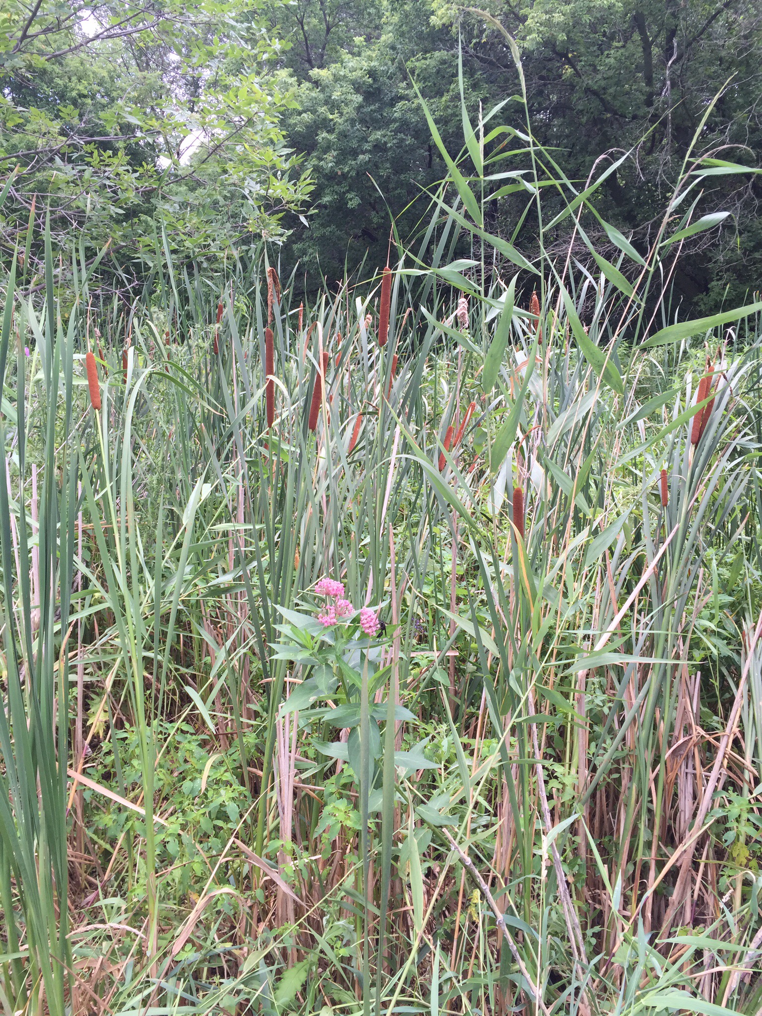
Now my husband is as much of a trail dreamer as I am, probably more so since he is the one that lit that fire in me in the first place by pushing me outside of my campground comfort zone and onto the trails and as far off trail as I am willing to venture (not far). So it wasn’t very surprising to me when he sent me a link for the Sage Creek Wilderness area in the Badlands. One of the harder adjustments to our South Dakota lifestyle has been finding ways to incorporate wilderness when it isn’t very close by. We have plenty of vast space just not so much with the types of features and land usage that makes for happy hiking.


He was pumped up and ready to grab gear and hit the road to escape into a little weekend away backcountry adventure; however there are some logistical realities we have yet to overcome to make this little weekend getaway a reality. First off, we need babysitting and dog sitting. While all of the grandparents still lived an airplane ride away it’s a bit of a hard sale to as them to come just so we can sneak away for a long weekend. Especially since they always say yes for all of our bigger outings. Fair enough, we have an awesome babysitter who could totally hold the fort down for a quick weekend, she even loves the dogs- a total double score! But truth be told, the loop is 22 miles and it is a 6 hour drive there and back just to hit the trail, with my husband still grumbling from the last time I pushed him above 6 miles of hiking per day, this trip will total a bit more than a weekend away. So, maybe we pack up the kids with all the gear and just family hike it? That would work outside of the second major logistical quirk to this trail- no water. Now I am not shy about packing in some weight, but I figure even if the kids only packed their water needs- their pack would outweigh any sane amount, and if the adults try to pack all those gallons of water it would just be a trudge which might find more whining actually coming from the big kids than the littles. So this one is still in our back pocket for that time when all the stars align and we can sneak away for three days.

  In the mean time I convinced the hubby that it would be good practice to make a family road trip out to see Mt. Rushmore by way of the Badlands. We could assess the lay of the land, the kids could explore their own back yard a bit more, and I could finally stop saying I had traveled quite a bit but never managed to make it to “The Hills” since moving to SD. So awesome babysitter agreed to pamper the pooches, we loaded the car with excessive amounts of snacks and electronics and away we went.  

Things I learned along the long waste of expanse that is the drive from Brookings out to the Badlands. I now better appreciate the talk of ‘east river’ versus ‘west river’ that I’ve heard talk of from those that come from these parts. I can see how the landscape shifts substantially enough that it could shape a whole variation of thought and culture. Fair enough. I discovered the significant role sorghum plays in the agriculture of South Dakota at a helpful road side rest that included a billboard that was surprisingly informative on the agricultural history of the region. It was a bit funny that I had half formed a bunch of questions as I watch out the car window and that the billboard actually addressed them. I was grateful for my foresight in packing sandwiches because there aren’t many food stop options along the way, indeed there is pretty much nothing along the way. One long stretch of no choice but getting yourself from here to there. Which brings me to the last thing I learned along the way; this is not a bit of highway I would want to hazard getting stuck on in a winter blizzard. Props to the friends I have made that make that drive throughout the winter for skiing or visiting relatives over the holidays. 
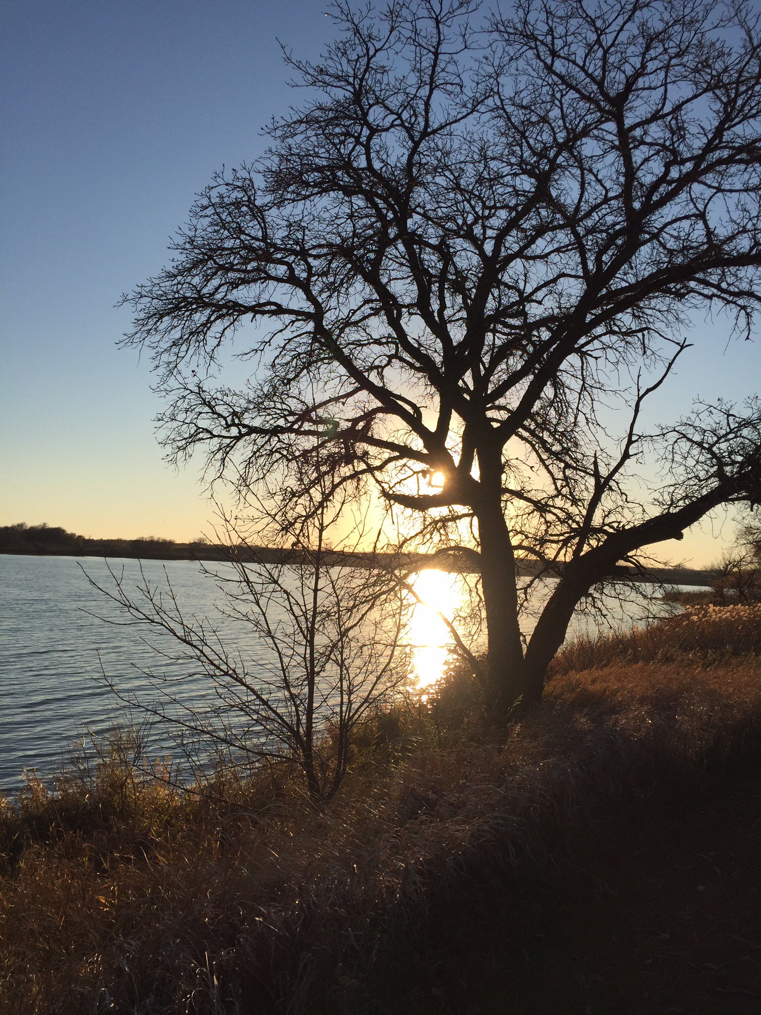
  
The Badlands

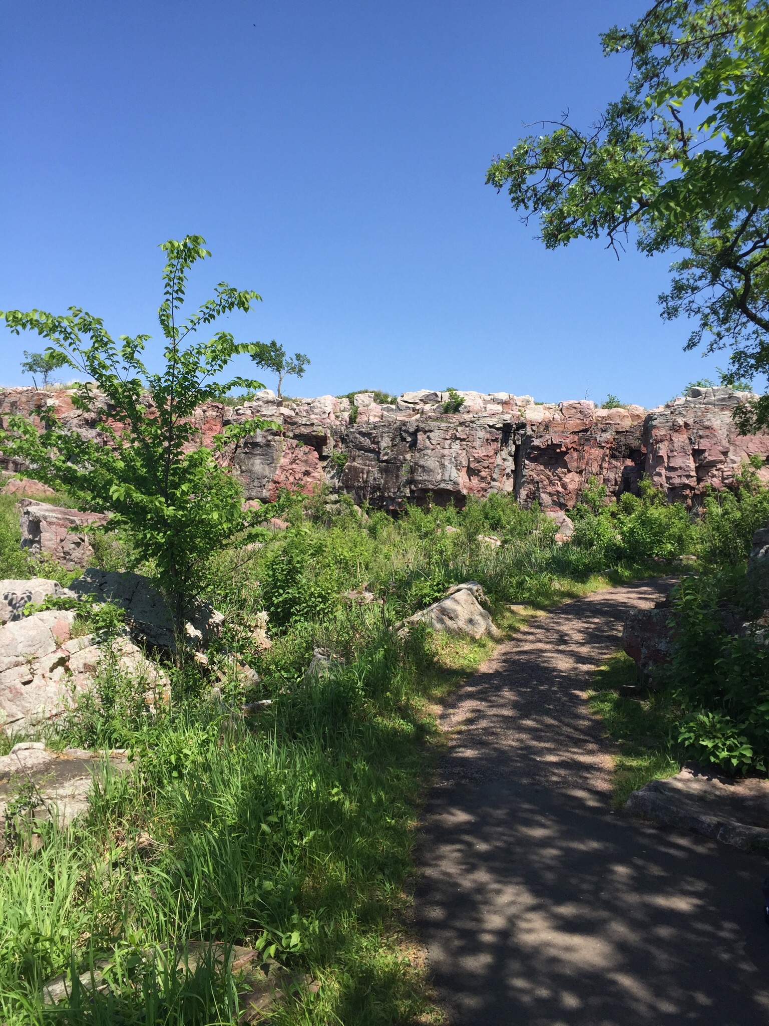
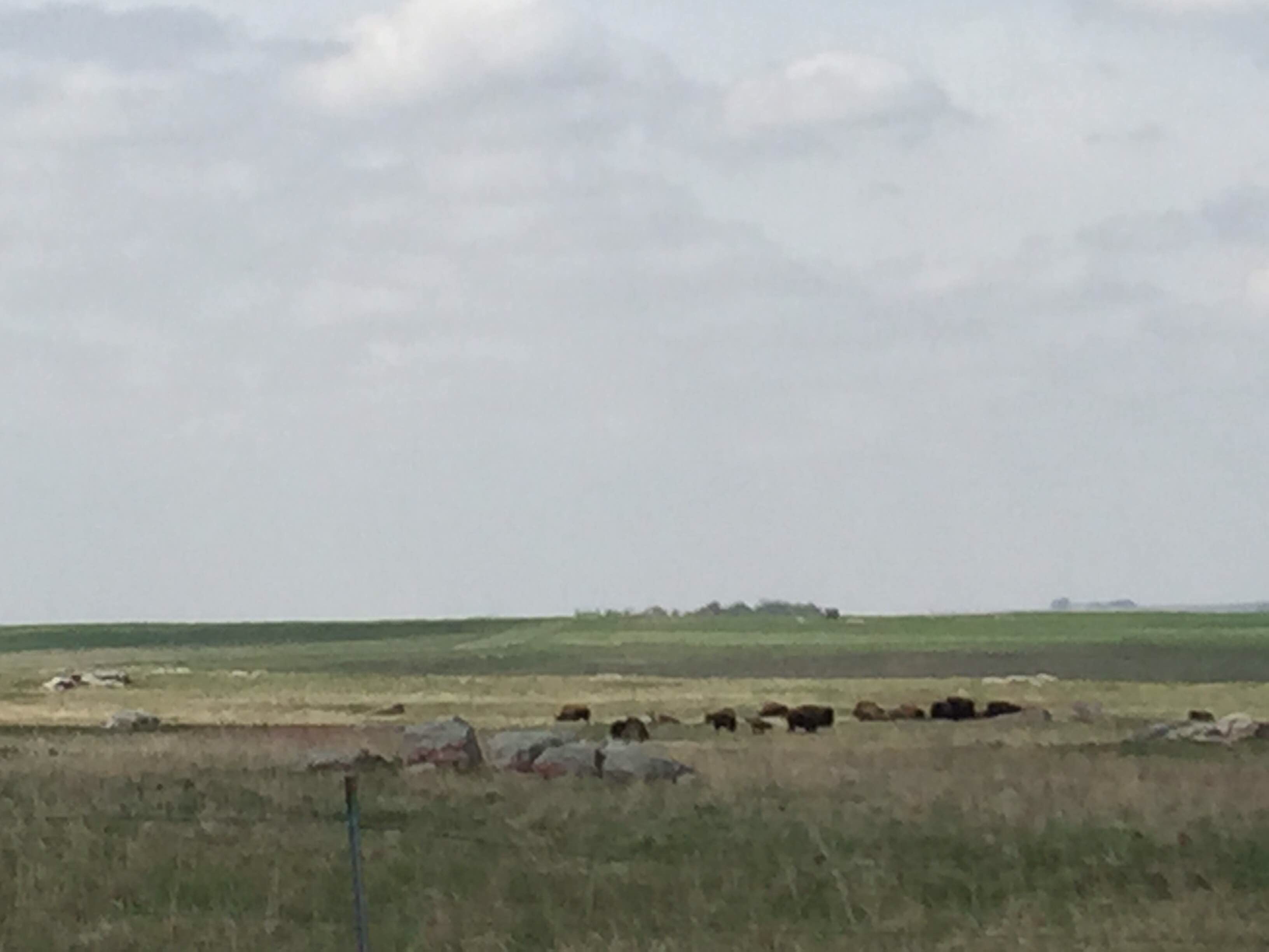
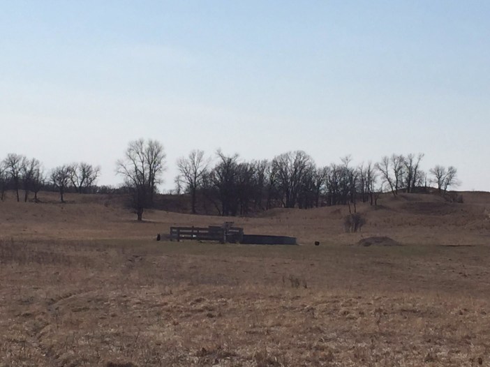
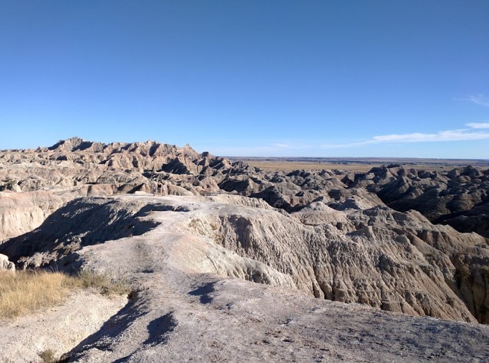
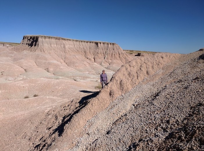
Off of I-90 we took the Hwy 240 loop. We were itching to get out of the car and pulled over as soon as possible which happened to be a section of cliffs and we were joined by a whole host of other visitors scrambling around and exploring. There were little paths that led up and around and into dead ends. If you climbed enough you could look out and start getting a feel for the vistas of hardscape. It was really just a tease making you want to see more and have deeper trails to explore. So we loaded back up and headed down the road; we must have pulled over a dozen times. We were so hungry we opted to have our picnic right there at the ranger station which was fine, but we could have had a much cooler view had we waiting a few miles more down the road but again we just wandered and took it all in. We did want to make the hotel in Rapid City by nightfall so we decided that when we headed home in a few days to take the same route back to get another shot at poking around in the Badlands.

  
Rapid City

For two days we had a great time checking out all the typical touristy things in the Rapid City area that we could cram into such a short time. The kids really appreciated Mt. Rushmore and we took the little trail walk along its boardwalk lined route. Then we wanted to find a real trail since we had some mountain to play with.

   
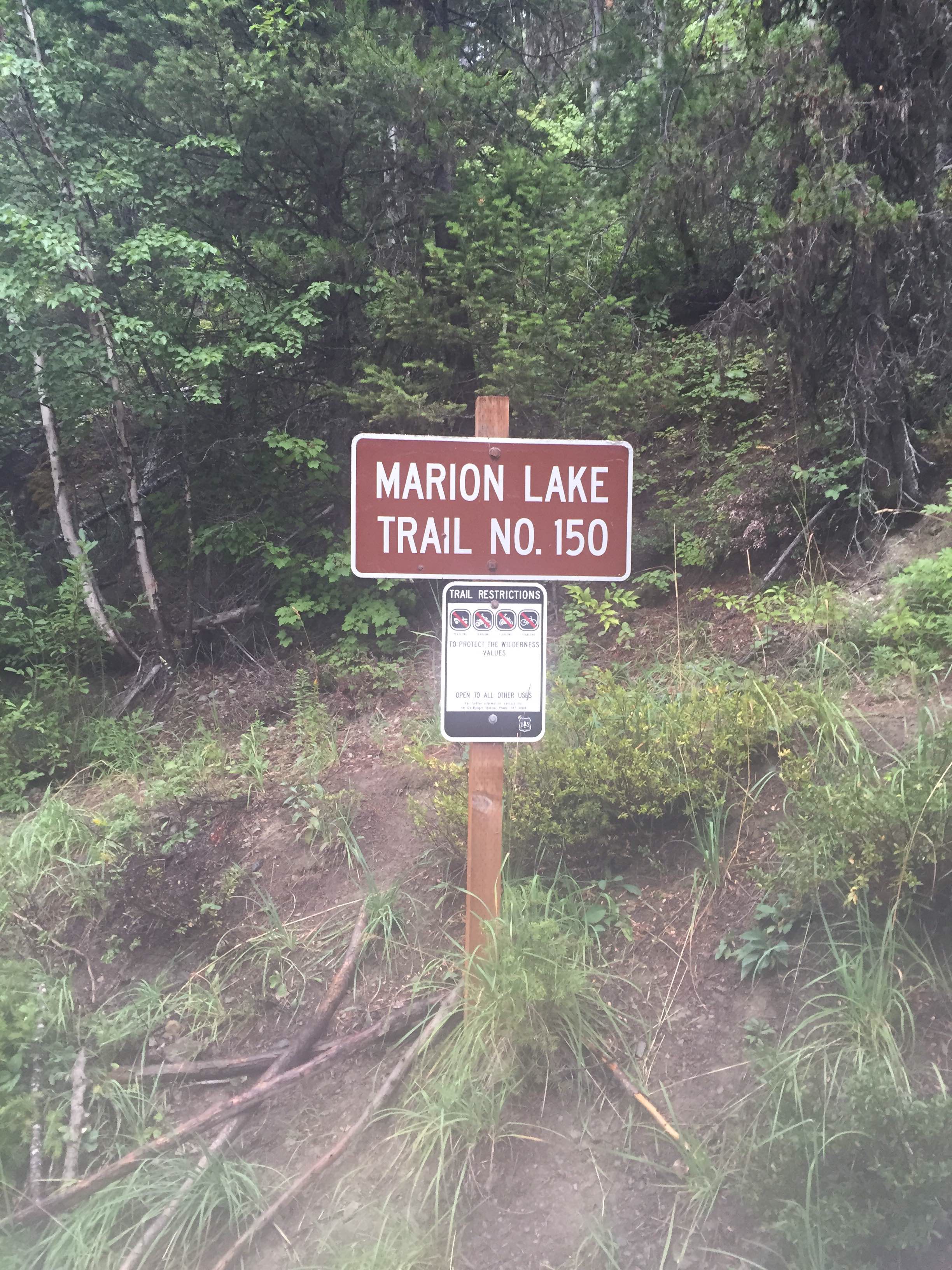
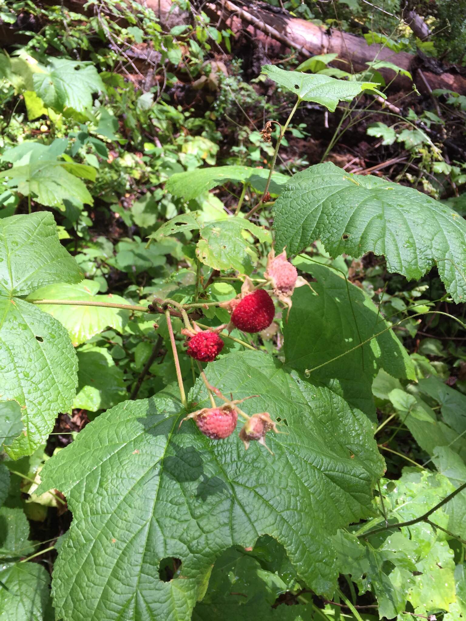
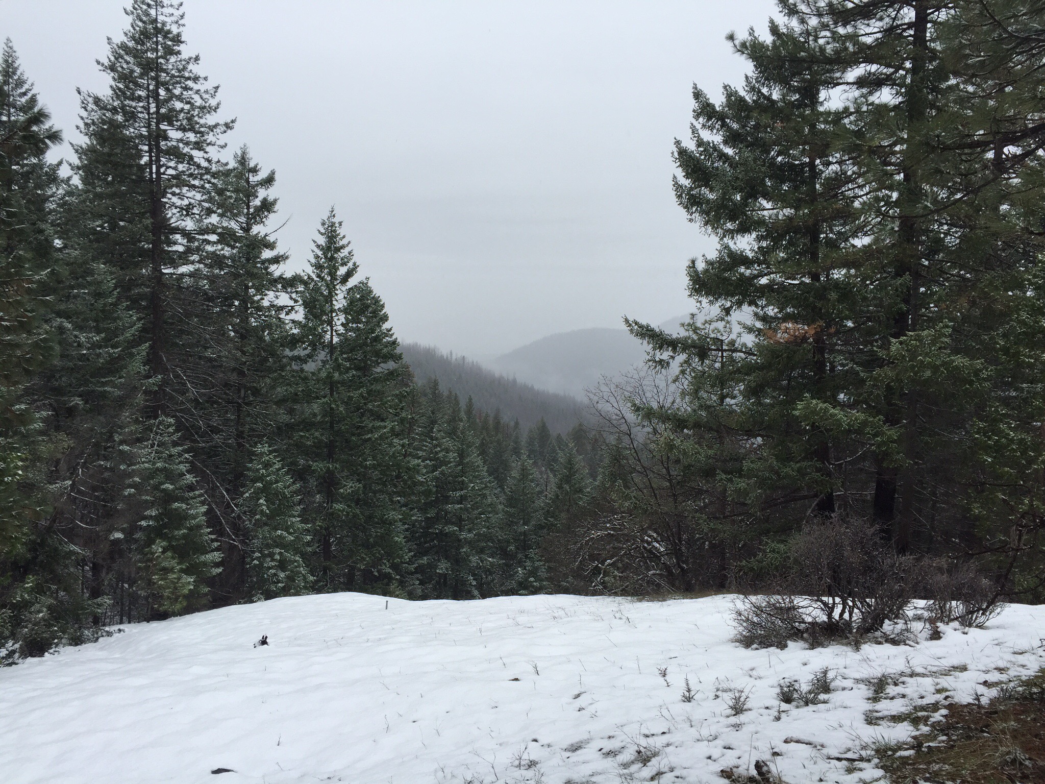
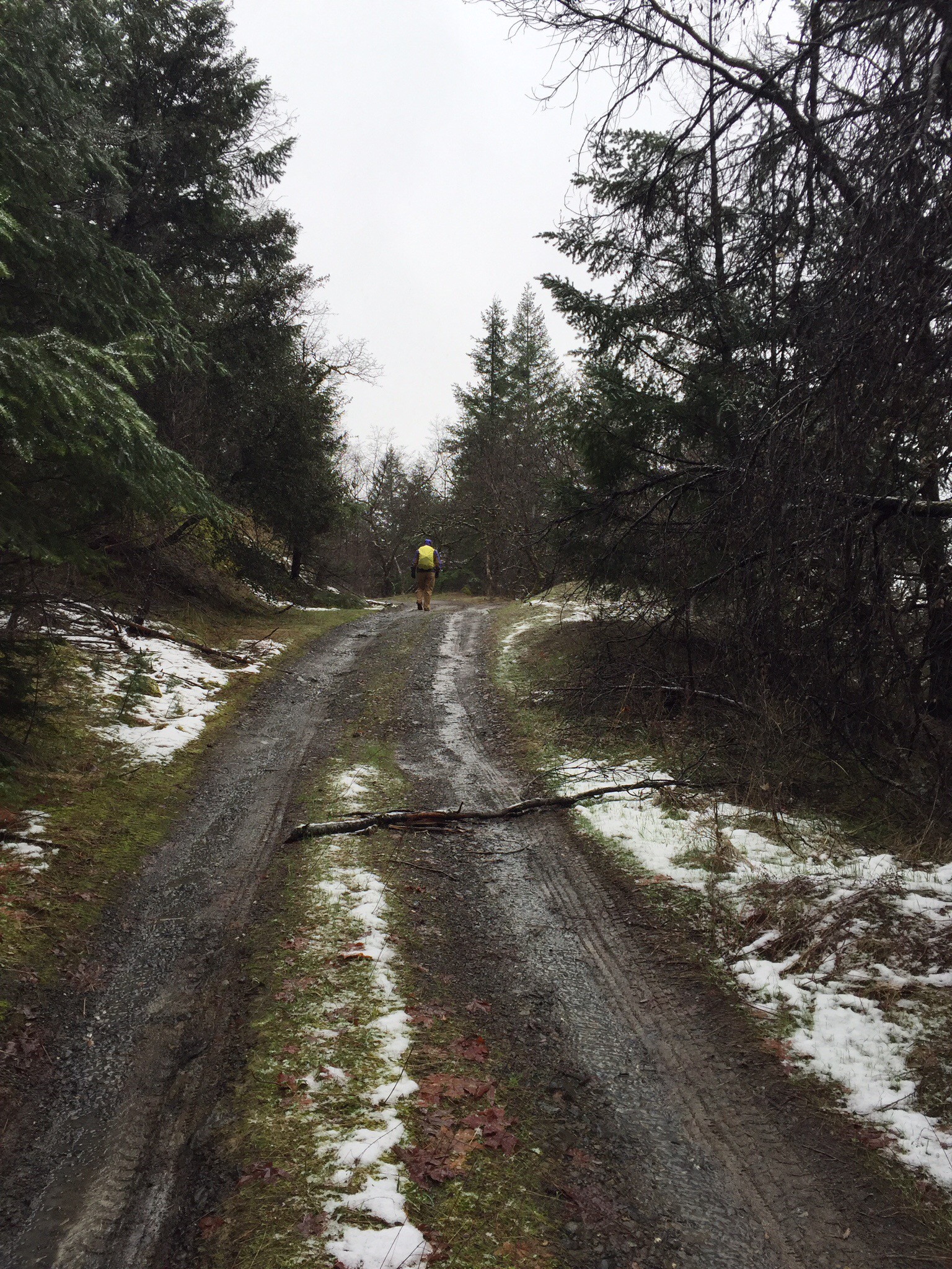
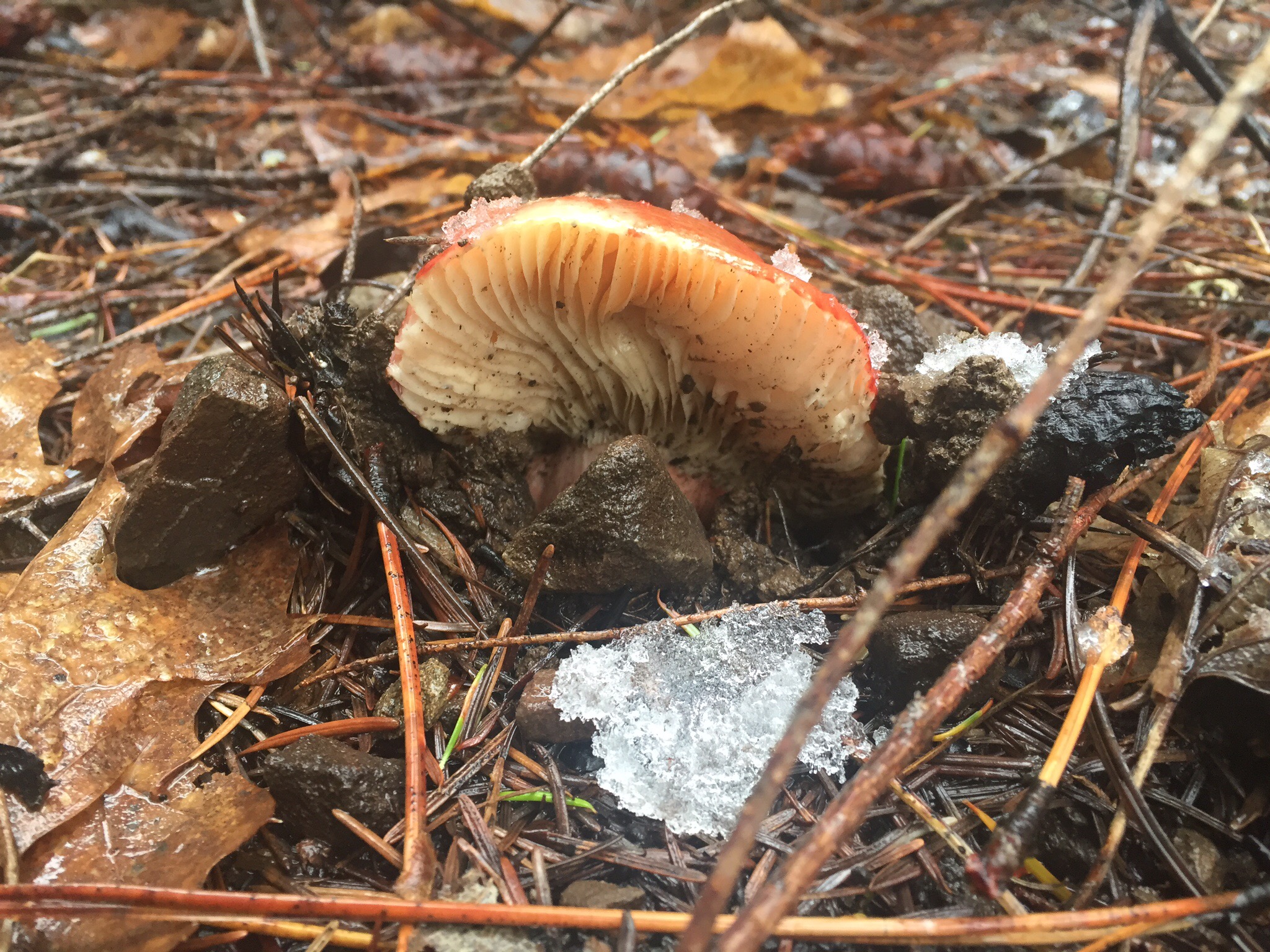
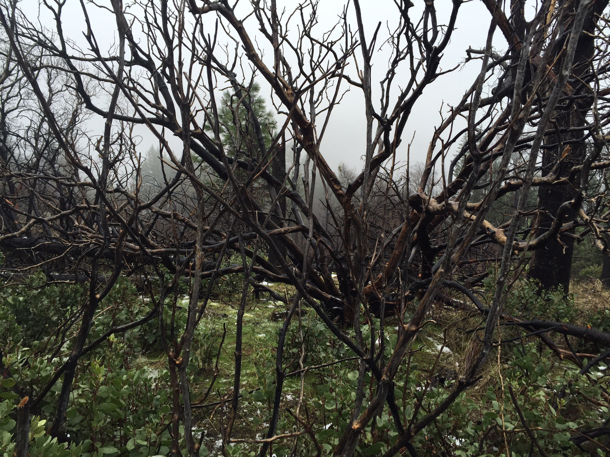
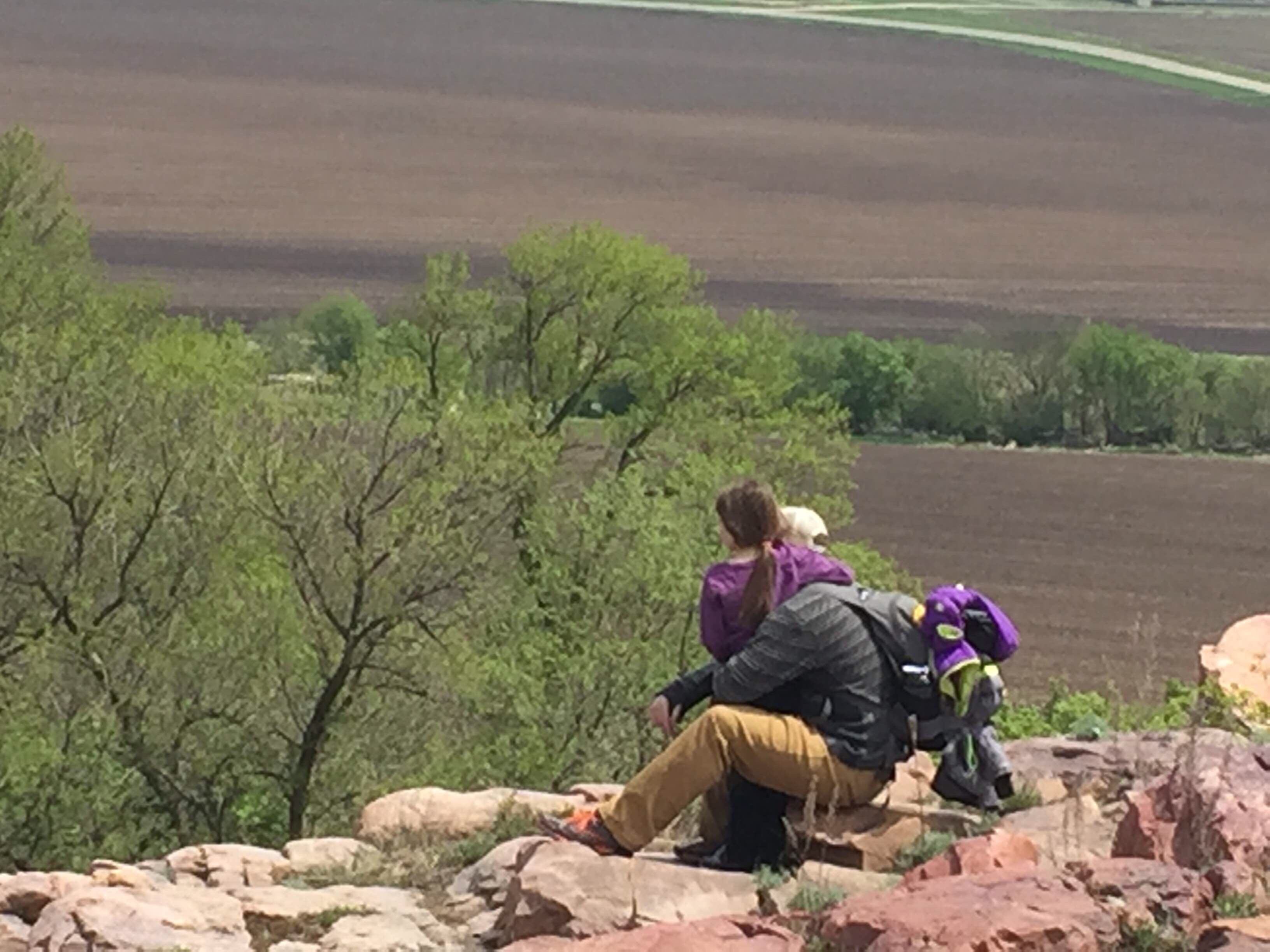
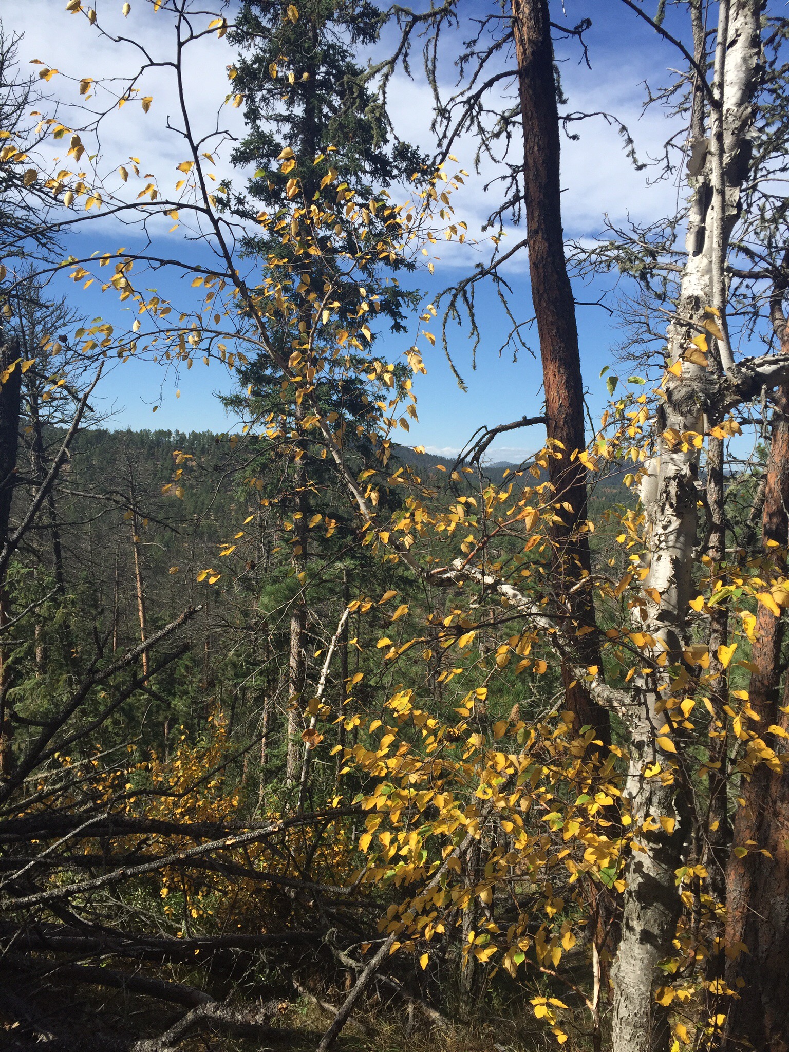
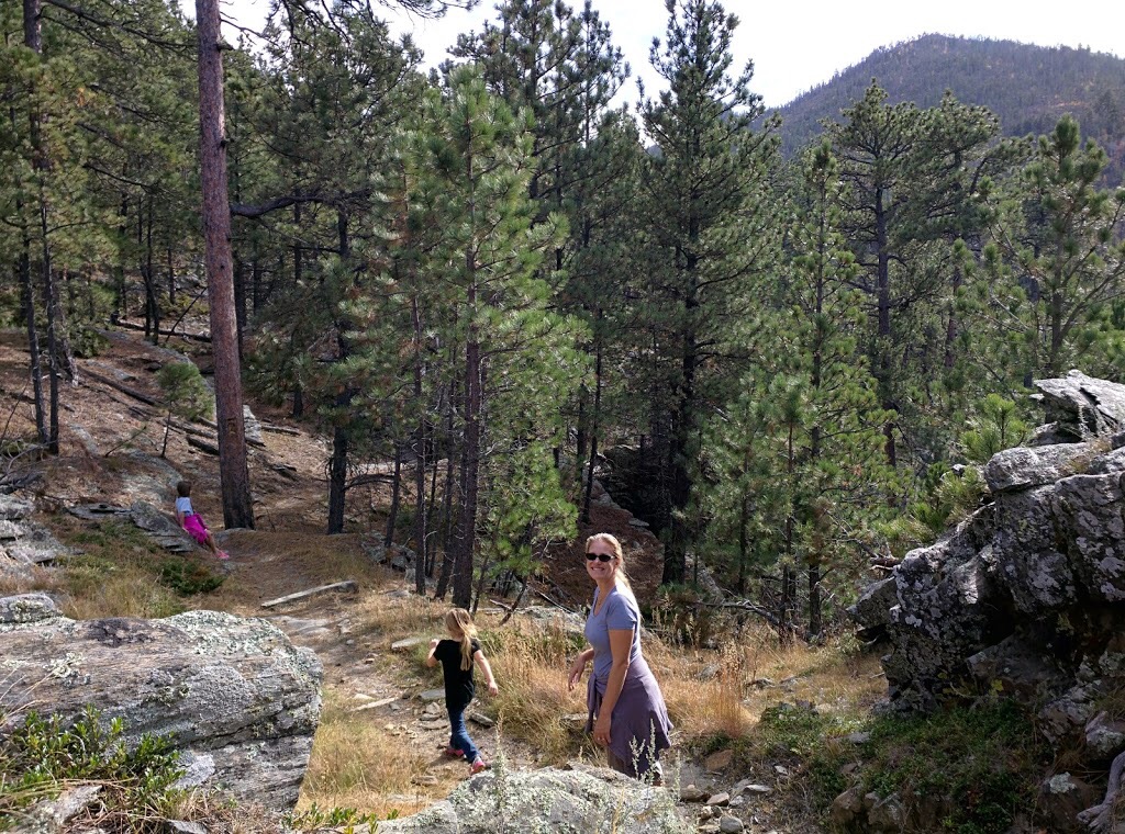
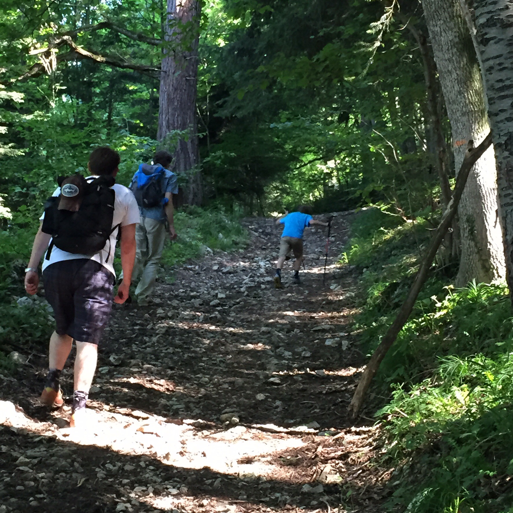
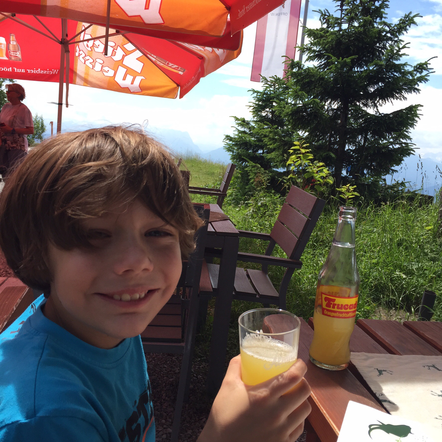
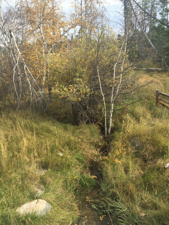
There are tons of day-hike options in and around Rushmore alone. I wouldn’t mind getting a cabin for a week and just gorging on taking the kids on all the little 4-6 mile options, but I had heard good things about Harney Peek and we wanted to give that a-go. That was until we realized the good old SD wind was ripping like crazy that afternoon and I didn’t much want to spend the entire outing worrying about kids on a peek in the wind. So we hunted out a trail with a bit more shelter. After consulting the guide book and trying to match the road map and the actually road signs we eventually made it onto the Palmer Creek Trail. We anticipated going for a few miles and looping back; however, the trail was so encumbered with deadfall and downed trees that it quickly became more like a jungle gym trying to climb over around and through and handing kids across logs. This impacted our pace so much that we finally had our lunch, enjoyed the sounds of the forest and pretty soon headed back down the same trail; especially since the sun was fading earlier with it now being fall and we were on the shady side of the mountain. I would have to say for any hike in the generally area it would be a good idea to plan a bit more time if all of the forest is so heavily impacted by the pine beetle. Next time I will be sure to grab a headlamp in addition to the first aid kit and copious amounts of water for taking the kids on the trail. There is nothing they like better than stopping for a sip of water; about every 200 yards. But good on them for being sports with all of the climbing, and for grinning and teasing their daddy as he made up wild tales of what creatures we might find around the next bend.  

  
As for Rapid City, it made a great impression and there is no doubt we will head back that way regularly to get better acquainted with the trails and the various local food establishments. I do have to throw out there some major praise for Stonewalls Kitchen for serving up the best cinnamon rolls I have ever experienced. In fact, every plate on our table was covered in deliciousness and the Black Hills coffee was a happy reprieve from the hotel variation we had tried to start the day with. The only downside was that they only serve breakfast on Saturday and Sunday so we had to find something not nearly as satisfying on Monday morning before we headed out of town. I not-so-jokingly told my husband he would have to drive me out to Rapid just for the cinnamon rolls. Yes, please. 

  
Back Through the Badlands

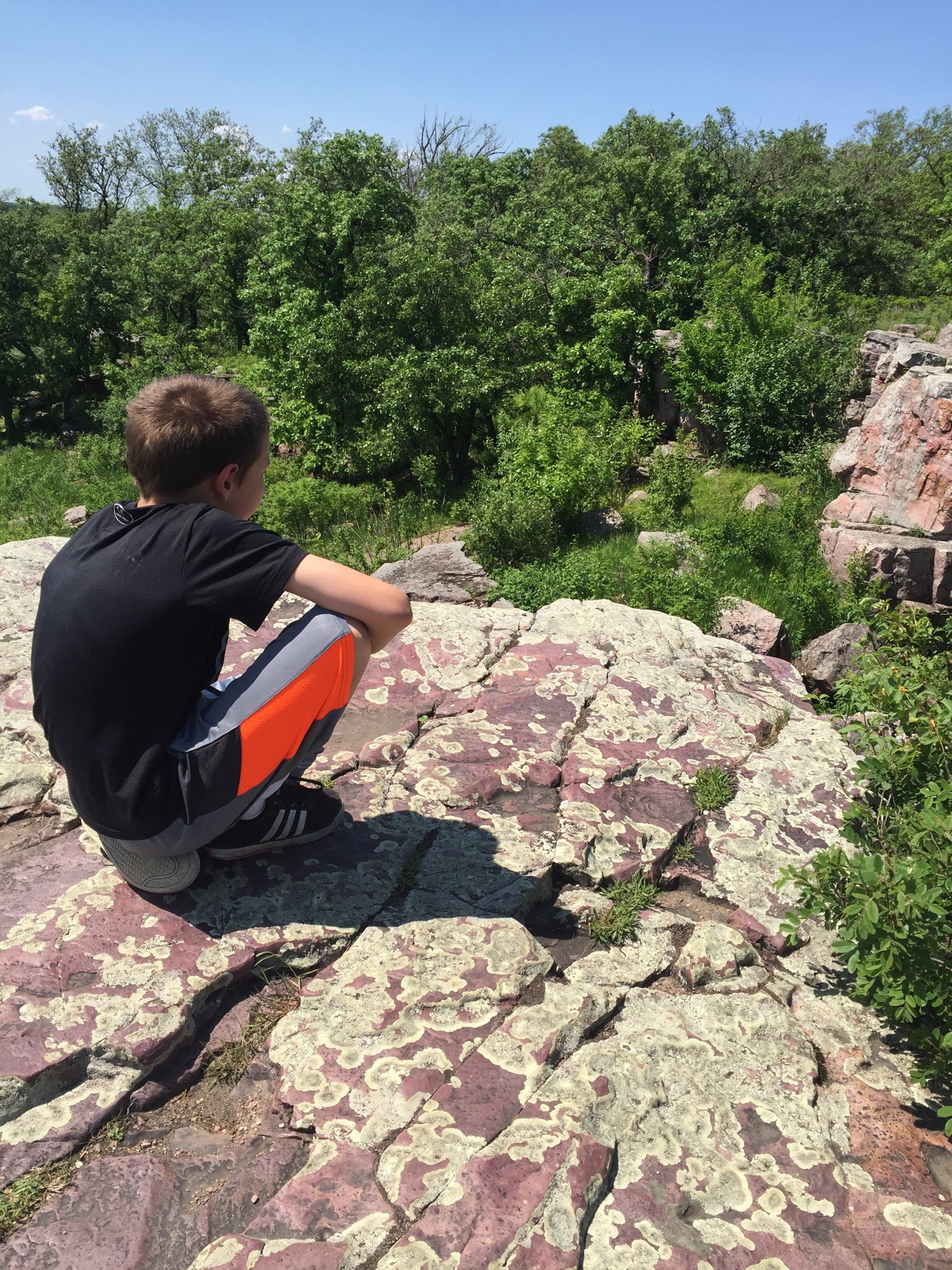
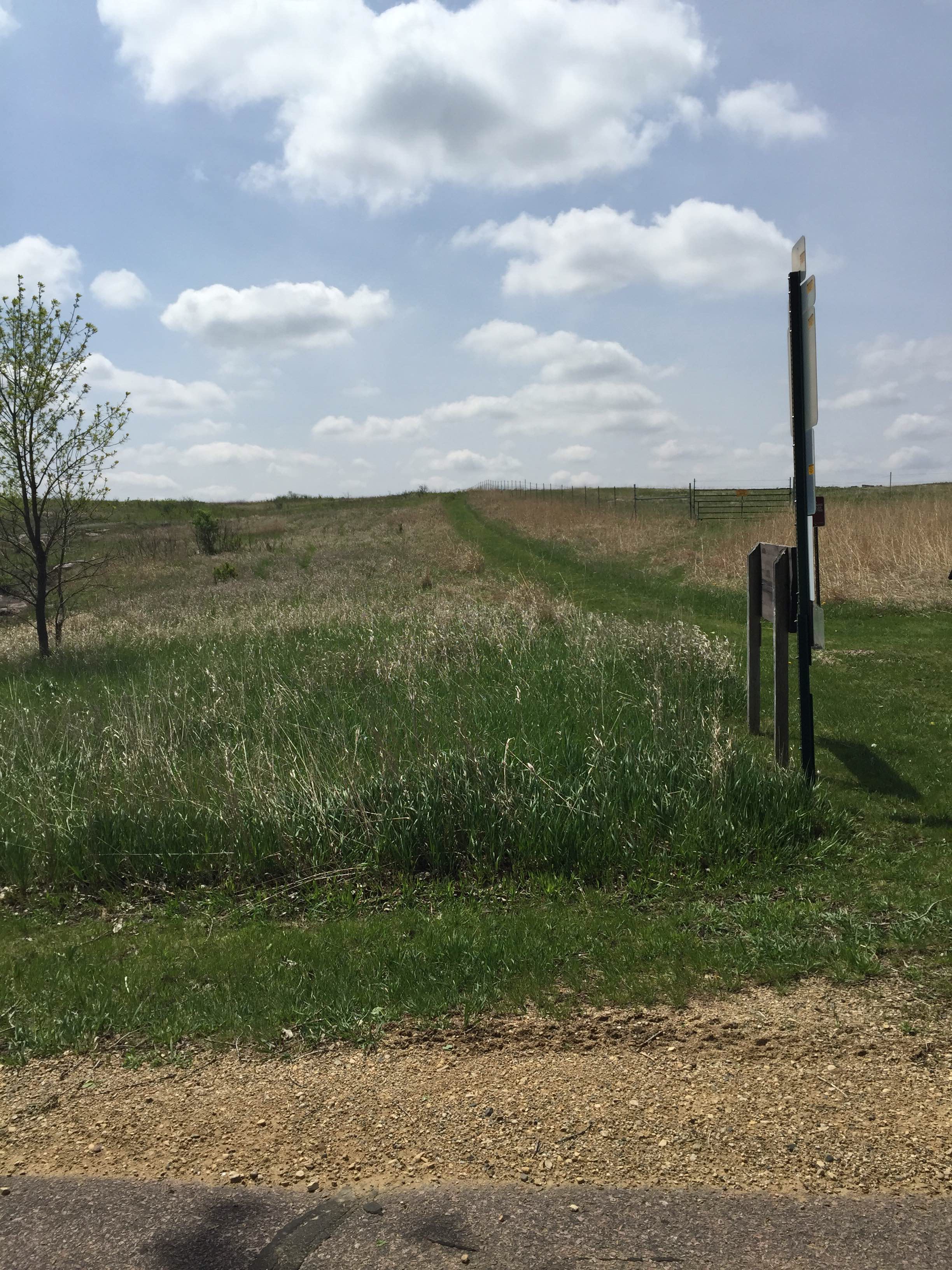
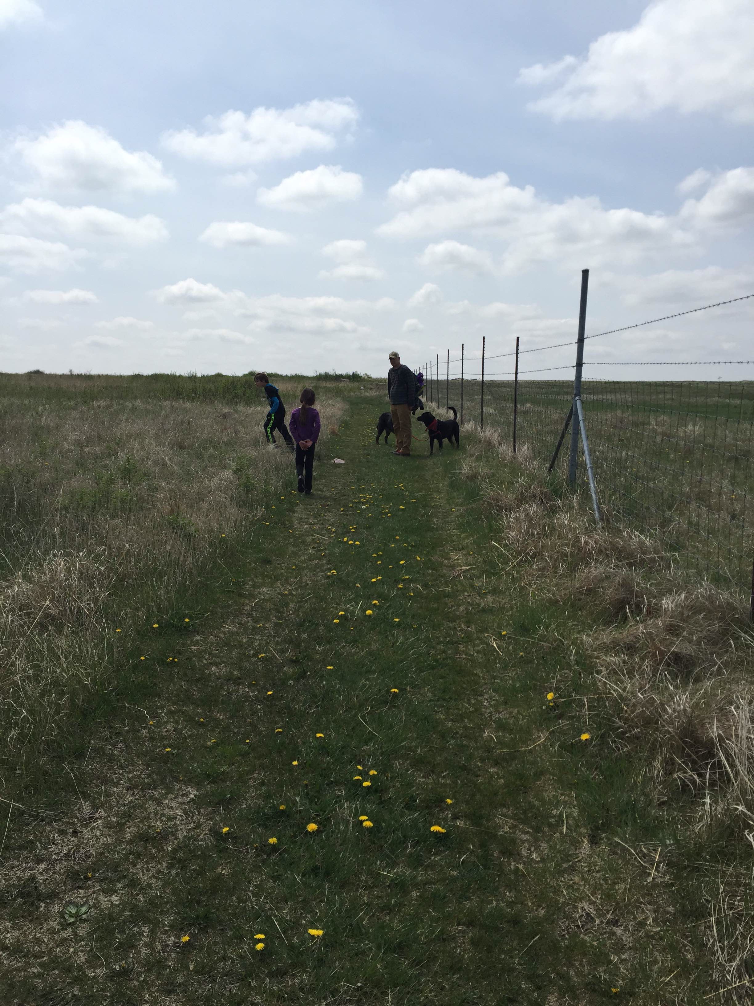
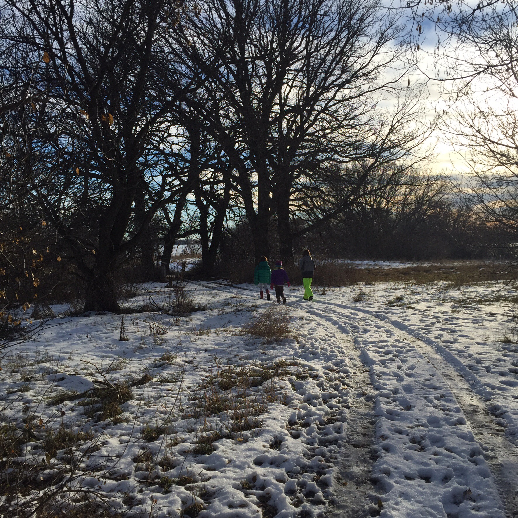
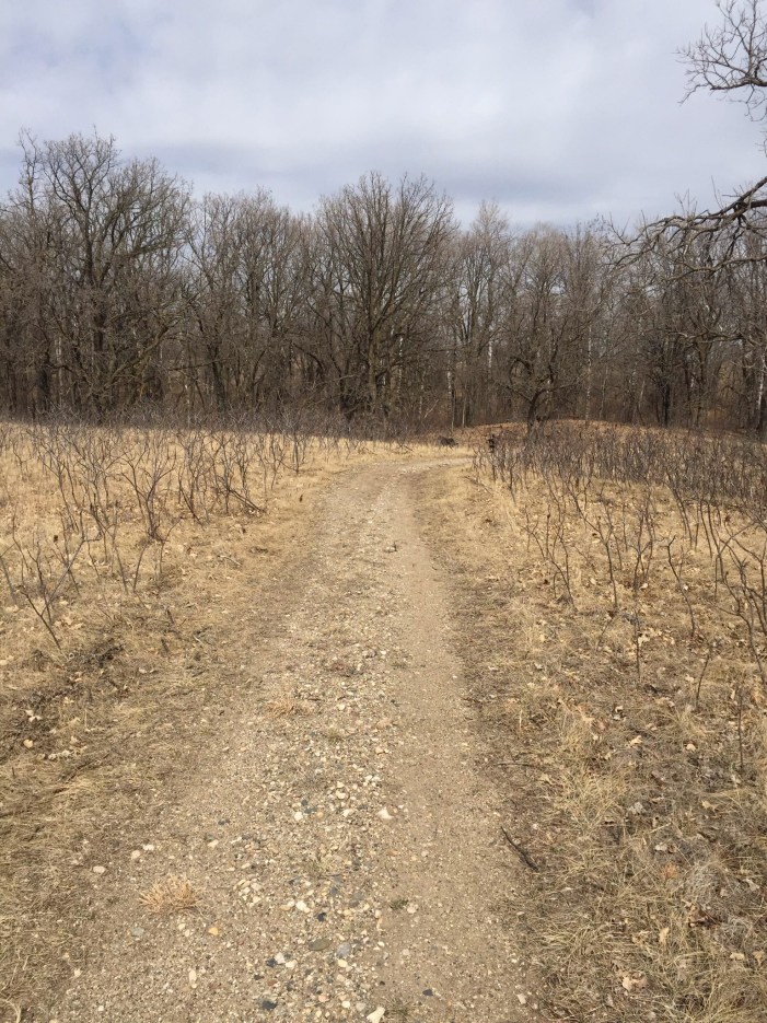
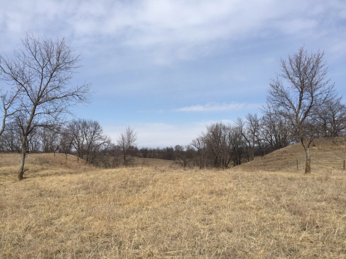
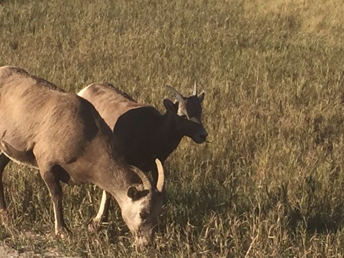
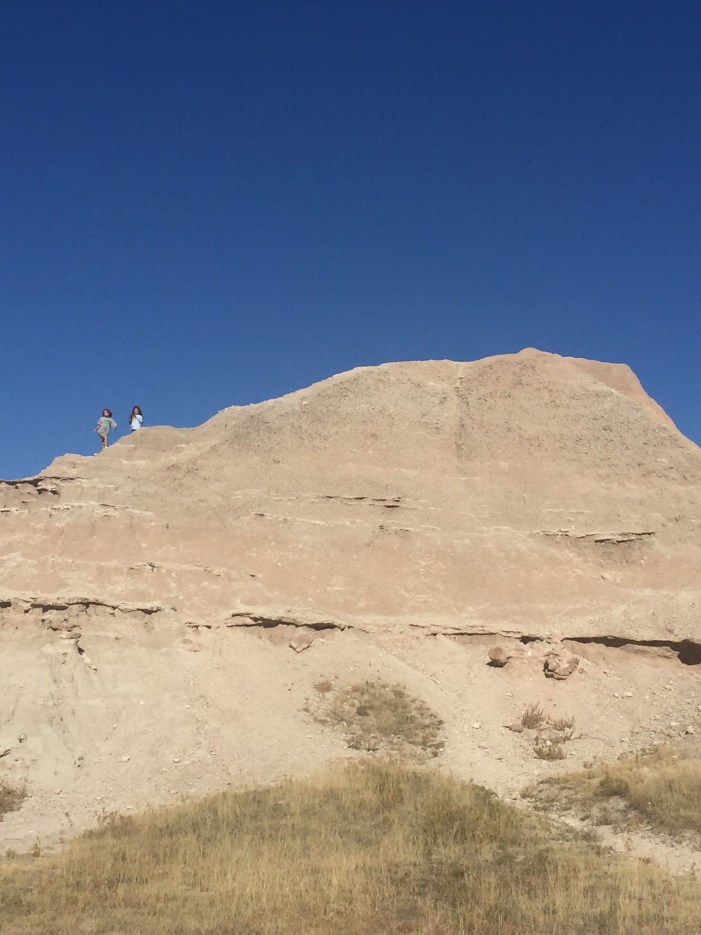
On our second go through the Badlands we had a bit more time and were able to at least find a trail to skirt along for a little while. The landscape is such that a trail is never going to look like much more than a game trail with some obvious trail marking spikes hammered into the ground at various intervals. Good to know. There won’t be much in the way of shelter so when we go we will need to have a good eye on the weather. I am not sure how fun it would be to try to hold down a tent during the violent thunderstorms that roll through this region in the summer. Any hike in the Badlands will immediately make you ponder the craziness that drove explorers and settlers to try to manage settling down in the region; one overlook tells of an entire area that was homesteaded where there is now just one lone tree standing as a reminder of the lives that didn’t take. It a beautiful unforgiving landscape that I will approach hiking with great respect, forethought and planning. I welcome the challenge.

  
 Backpacker Magazine Article- Sage Creek Wilderness Area

Badlands National Park

Stonewall Kitchen
  

Urban Hiking in Salzburg Austria

  Location: Gaisberg Mountain, Salzburg, Austria
Duration: 1 day

Distance: Up and down (ok, around 5 miles)

   
 For me, Salzburg Austria is quintessentially Europe. There is the old hilltop fortification jutting into the skyline; the old city quarter with cathedrals and squares; a strong dark river dividing the old and new; lots of people bicycling and strolling with purpose, all ringed by imposing mountains. Public transportation is good enough, with trains and buses at your disposal, though if staying close to the city heart it is best to just grab your umbrella and take an urban hike. It is an enchanting location that beacons you to relax a bit, maybe sit along the riverside or hike a mountain just to see the views; it is filled with cafes and restaurants that entice you with ice cream treats and dense German fare. In short it is the perfect place to visit and stay for a while.

  To this girl who spends most of her days in the wide-open South Dakota prairie, it was a titillating delight to be surrounded by mountains in all directions. Locals know each by name and are happy to point them out and describe the charms each offers. Depending on your pleasure there is one within easy access that is waiting for you. We managed to do some hiking, gondola rides, and summer tobogganing; and felt we barely got a taste of what the mountains have waiting. Now there is impressive wilderness stretches in Austria- with glaciers, mountain lakes, meadows and imposing mountaineering- The National Park Hohe Tauern- unfortunately this region will have to wait for a different visit. I spent my time in and around the city of Salzburg and had my fill of the delights of climbing a mountain to find a beer garden waiting at the top. Not a bad reward.

  Now I employ the term mountain loosely here- as most people would call them hills in Salzburg- but they were imposing enough to make my breath catch when I looked down from the top, so I am going with mountain. But according the “The Sound of Music” (which was filmed here and actually is one of the reasons tourists visit) those hills, they’re alive with… well you know. We had no trouble finding transportation to hiking trails. The day we set aside for a longer hike, we just simply walked out our door and headed in the direction of the mountain we were aiming for- Gaisberg. After about a half hour walking through the city we started to climb and then met up with the dirt path. The nice thing about mountains is if you are hiking up you just head up the trail and when done go the opposite direction. There were many trails but you never had the sense that you could get very lost as there is a well-used road that runs to the top that you could always manage to find if needed. The trails are blazed with a red and white marker which, after being on several trails, I started to suspect really was the marker not so much of the trail but that you were on the right path to the beer at the top! The terrain changed from beautiful old farms, to meadows, to mountain forests; lovely every step of the way. It is difficult to gage the difficulty of the trail as we were led the entire way by my 9 year old son who charge up and then down, and was managed by my aunt; so we had three generations able to enjoy the hike but it in no way was an easy walk in the woods. We had hiking poles that we were glad for as the constant incline, coupled with areas of rock and forest debris, did make you watch your feet more than the views in sections.

  We all happily enjoyed relaxing at the restaurant once we reached the top. You can have the weiner schnitzel and beer guilt free knowing there is the whole second half of the hike still ahead. The views catch your breath as you see the Salzburg panorama while the brightly colored hang-glides take off and float and soar. Good cheerful conversation with friends completes an amazing morning. Revitalized, you get the luxury of making an “urban hiking” choice: save the knees and take the bus down, or extend the hiking pleasure and walk back the way we came. You know what we picked! Down was slow on me but it brought a grin of delight watching my son sliding and skidding down the rocky areas with confident delight. The round trip, door to door, took 8 hours.


Blue Mounds State Park- Minnesota

Location: 1:20 minutes away from Brookings, SD just north of Luverne, MN.

Distance: 13 miles of trail

Difficulty: Easy- day hiking for the whole family

Dogs allowed on leash


Mother’s Day hike with the entire family at the Blue Mounds State Park which is an easy drive from the house, perfect for a quick day hike. The climbers I know keep inviting me to head to Blue Mounds for the climbing, so I wanted to go do a bit of reconnaissance; and when I looked it up online and found it had 13 miles of trails and a buffalo herd, I was sold. 

The hike itself is the perfect high interest trail for the kids to get involved in. There are many trail markers/sign posts for them to stop at and practice their navigating skills; as the entire trail is mowed it is impossible for them to get lost. We started heading out along the bison field; which kept the kids moving along as they were seeing who would be the first to spot the herd. The only downside being that you are hiking along a huge prison-style fence; which is a pretty good scene killer.  There were several false spottings of boulders but once we did find the herd, it was the perfect opportunity to sit on a big rock and have our snack. 

The trail is essentially an oblong loop along the ledge of the rock wall. For the three hours we were there we saw an impressive number of animals. Bison herd, white tailed deer, a snake, a whole host of insects, vultures and assorted birds. The terrain is slightly rolling but gentle on the knees. The kids had a blast hunting the cactus and watching for animals. The trail is a perfect family day out.

While we only had a short time to explore the entire family agreed it is a great spot to go back and check out again. The park has done a really good job of making itself interactive and enjoyable. The signs stated that we could rent canoes, check out fishing equipment (free), bird watching equipment (free) and there was a scavenger hunt/geocache along the trail. The trailhead sports a vault toilet, volleyball and a swing set. This is just a very enjoyable little place to bring the whole family and enjoy a picnic, view some wildlife and get a little (though mild) trail action. 

Final thoughts- high interest level for the kids and nice and relaxing for the parents. Not a bad way to spend a day!

http://www.dnr.state.mn.us/state_parks/blue_mounds/index.html

Sheyenne National Grassland

Sheyenne National Grassland

Portion of the North Country Trail 


Loaded up the family (including the 4, 6 and 8 year old as well as the two dogs) and headed 3 hours north up Interstate 29 to the Sheyenne National Grasslands. We got a bit lost as we hadn’t planned out the exact trailhead, instead relying on memory and google maps, but eventually headed down a fun to drive dirt road where we crossed over the trail. The road was a fun off road bonus to the day but would be a mess of mud if it had been a wet spring this year. We ended up parking on the back side of a dirt bike course where we saw several off road vehicles out for some Saturday fun. We didn’t have time to drive further and see what was ahead but I am curious and will have to go further up the road next time. 


To get there: Hwy 18 to 27 to County Rd. 4 to 64th St (left)

Difficulty: Easy

Distance: up to you!


I had expected the Sheyenne National Grasslands to be a wide open expanse of prairie grasses with horizon as far as the eye can see. It was a pleasant surprise to see mounds, hills and hollows. The trail snakes around bends, over hills, and through stands of trees; making you excited to see what is just over that ridge or around that next corner. It was early April so the plants were just starting to bud out, there is no doubt the vegetation will be a blossoming blaze of beauty in a month; however, our experience with the region is that you will trade being tick bait to witness that blooming. 

We hopped out of the car and headed down the trail as far as we could manage. We hiked in for an hour and then found a nice flat grassy area to have a picnic. I had packed in a simple loaf of bread, some peanut butter and snack bar goodness. Instead of resting, the kids found a nice sized hill and practiced running down in with gleeful lopsided grins as big as the tongue dangling happiness the dogs exuded while chasing them along. Once we gave everyone a significant drink, (the dogs could easily consume a liter each time they drink) we heading back on the trail. The trail is very well worn, with two grooves about the size of an ATV, it does intersect with several other trails and dirt roads but it is also ridiculously well marked; you can often see the next trail marker while standing at the current one. There are also mile markers we were hiking around mile markers 22-24. We yo-yoed nearly 5 miles spending 4 hours total including frequent kid breaks and our picnic. This was the first hike that our 4 year old had to hoof it the whole way as she out grew her kid carry pack. She whined a bit and passed out as soon as she got in the car at the end, but she made it!


It was a nice easy trail with a decent variety of scenery and terrain to keep everyone entertained. There was a broken down windmill fairly early on, as well as a water pond that must be the new well as it had solar panels. This could easily be a watering hole if you needed a fill though it would need to be treated. With a little planning you could hit a dirt road and make a loop out of it. I look forward to heading back to this trail and exploring more sections in the future and I think this could easily be a great weekend camp option. I believe it is a camp at large park but will need to do some research. Dogs are allowed off leash and ours had a blast.