Location: Lost Coast of Northern California, King Range National Conservation Area
Trails/days:
1. Day 1- Shelter Cove to Big Flat Creek Camp (roughly 9 miles)
2. Day 2- Big Flat to Maple Camp along Rattlesnake Ridge and King Crest Trails (8-9 miles)
3. Day 3- Maple Camp to Shelter Cove along King Crest, Buck Trail and coast (roughly 12 miles)
 Good to Know: tide chart needed as parts of the coast are inaccessible during high tide, rattlesnakes live in the King Range, and there are bears so you must pack food /scented items in a bear canister
Glad I had: hiking poles and flip flops
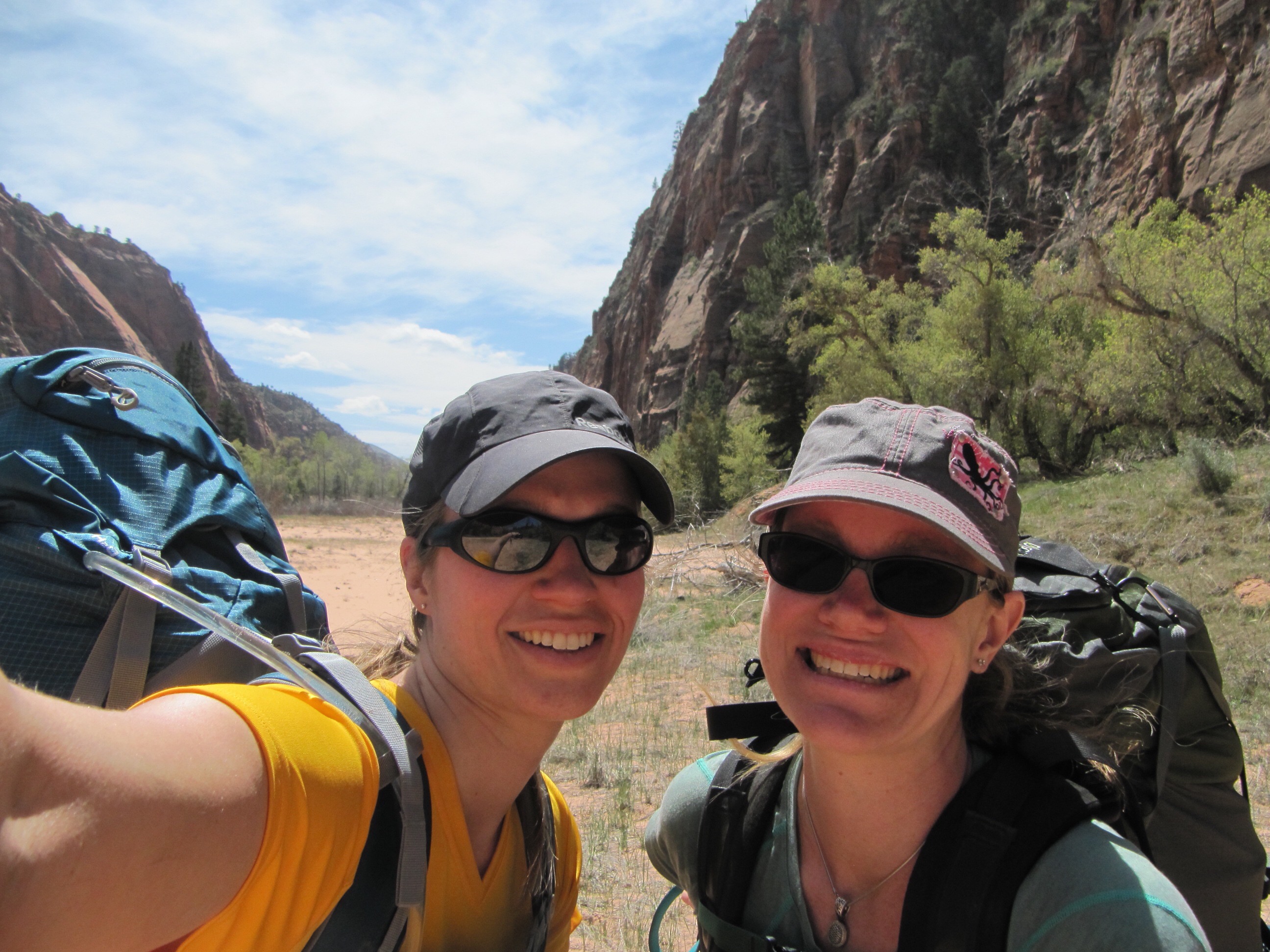
 Last summer (beginning of July) my husband and I spent 3 days on the trail along Northern California’s Lost Coast. All the details have faded a bit, but I couldn’t resist reminiscing about such an amazing place. I worried about leaving the kids for too long, so even though I wanted to go from North to South hugging the coast it would have made the trip a bit too long. So instead we decided to park at Shelter Cove, hike the coast the first day and then shoot up into the Kings Range on the second day and then hike back out. We packed and planned for 3 nights but ended up just hiking out late the last day since there were only a few miles left.

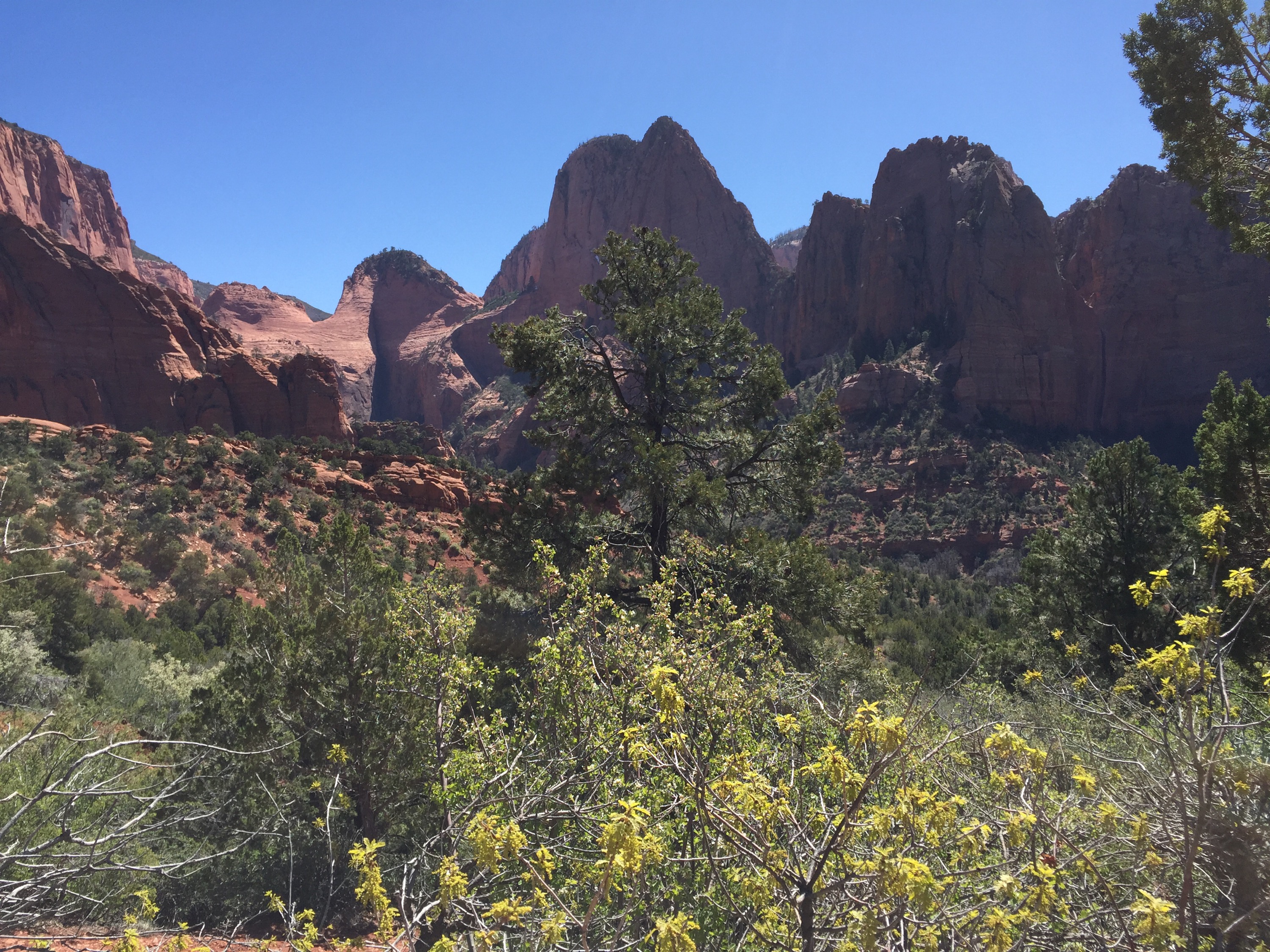
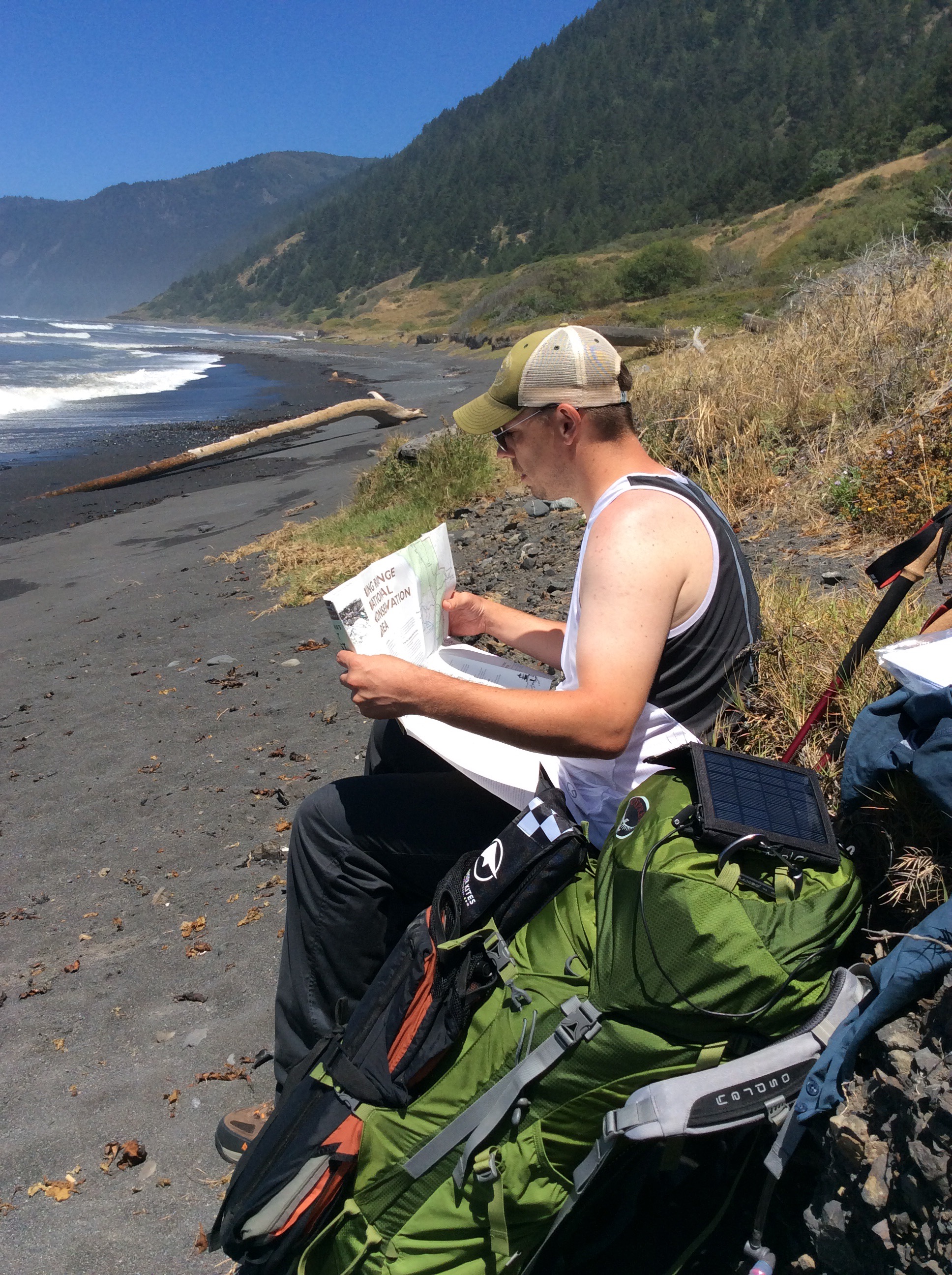
The route we took gave us the best of what the region can offer. Sea spray in your face one day, and sweeping views of the coast from a dry, brush splattered mountain the next. In between we saw fern valleys and forested stream beds. It was so beautiful at each turn that I nearly ran my husband into the ground from my excited pace I set. He was worried about me struggling with the weight, and he wanted to plan for any possible contingency, so his pack was way too heavy and mine was a bit light.

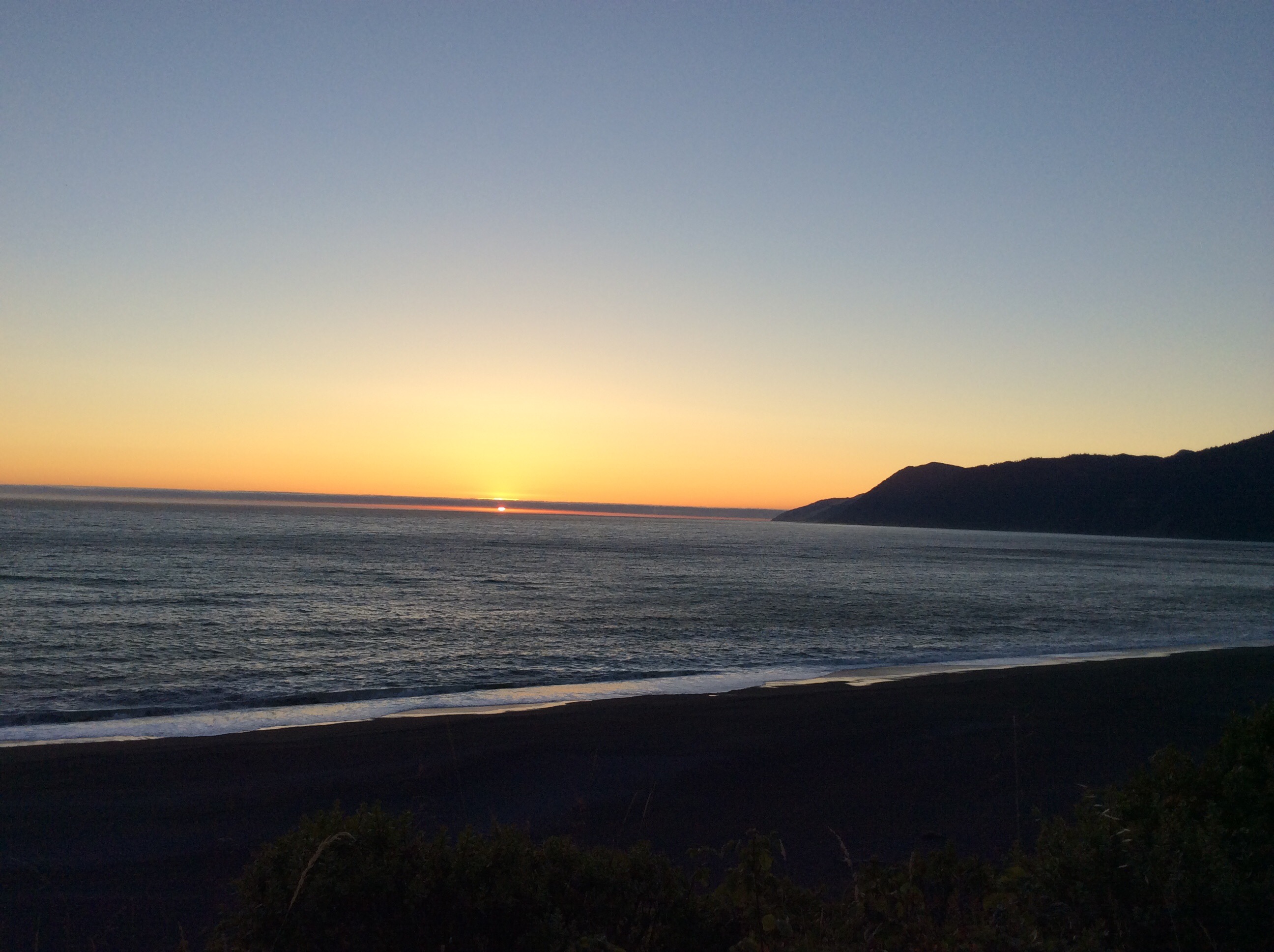
The first day was spent rock hopping, worrying over the tide chart, and enjoying the seaside. We made camp at the Big Flat Stream camping area the first night and I am pretty sure it was a slice of heaven on earth. The stream has cut a way through the cliff that appears to have a forest tumbling down out of it, and then it opens up so wide at the mouth leading out to the ocean. It was right at sunset and we were treated to watching a deer grazing on the seaweed. We had an hour to set up camp and eat, then after watching the amazing star display we rolled into bags hoping the bears wouldn’t play ball with our bear canister set out under a rock some ways away from camp.
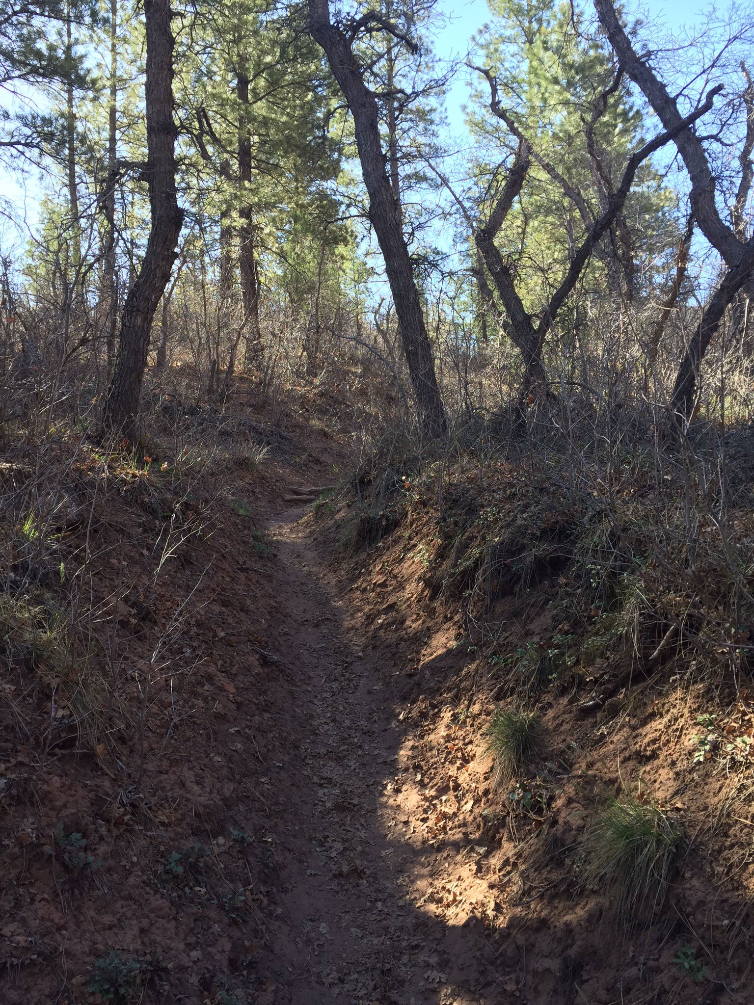
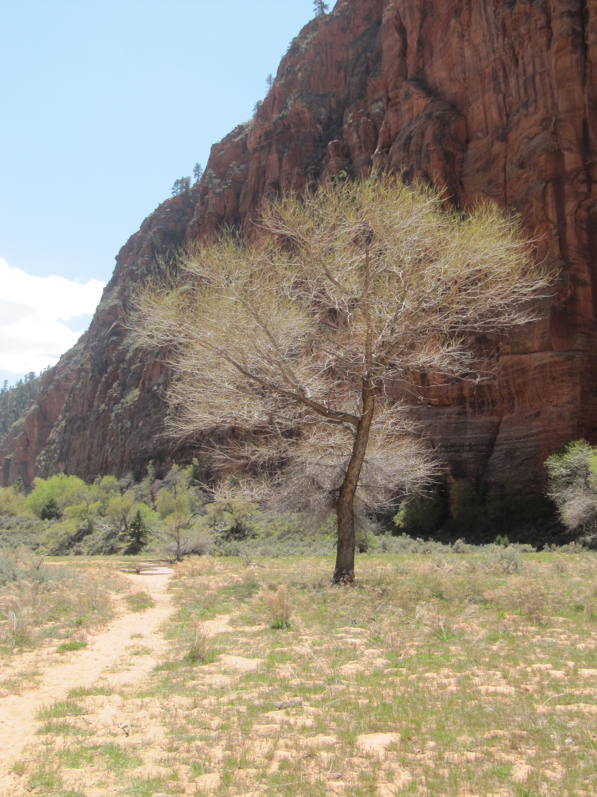
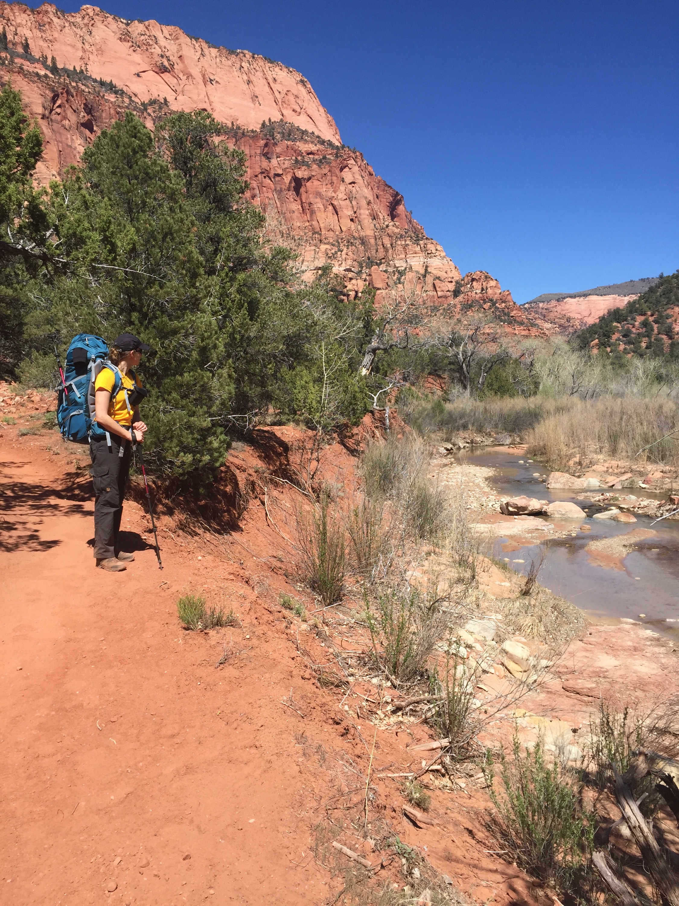
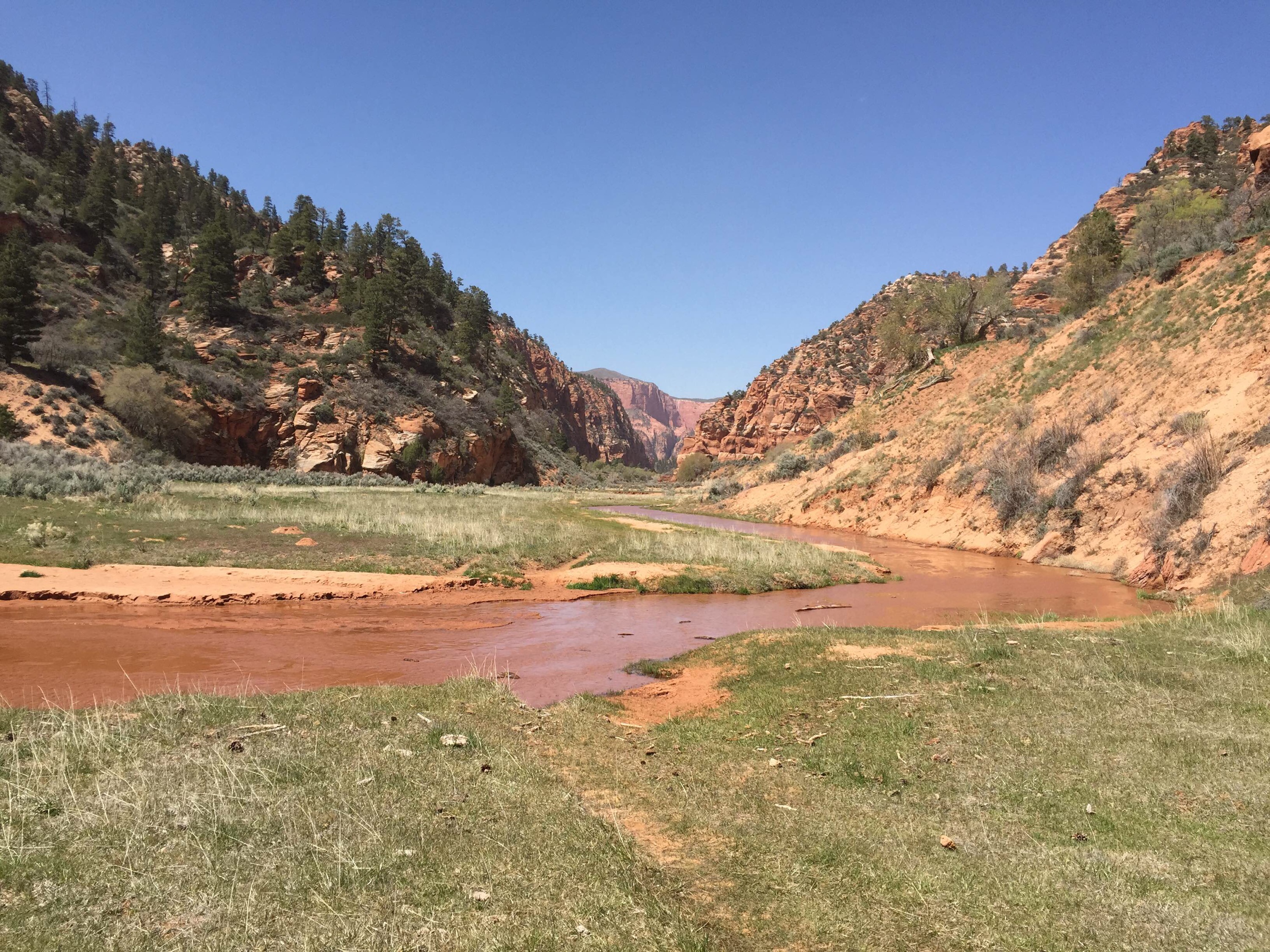
 Day two we woke to a coastal fog penetrating everything. It was cool and I was glad for my jacket and gloves as we packed up. Took a few moments to dance along the rocks at the shore looking for sea cucumbers and ocean critters, then we packed up and started our day of climbing. The trail starts gentle enough with some meadow land that leads into the streambed and ferned valley. Rattlesnake Ridge seems short on the map but that is because you will spend several hours in switchbacks. It is a steep relentless climb but manageable with one foot at a time. The bigger anxiety for me was having to straddle a large pine that crossed the path, which brought images racing in my mind of the movie where the guy is riding the bomb as it falls from the plane. It did seem we could be one slip of the foot away from our children growing up minus a parent or two. With that and the constant search for bears ahead and straining the ears for rattles- it was not a relaxing day strolling along the trail. But you certainly felt alive.
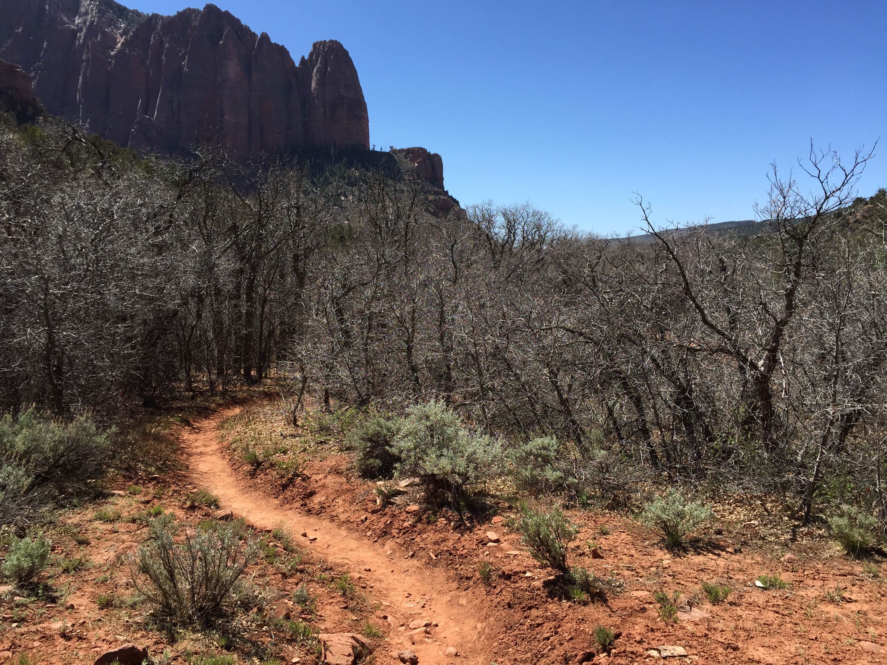
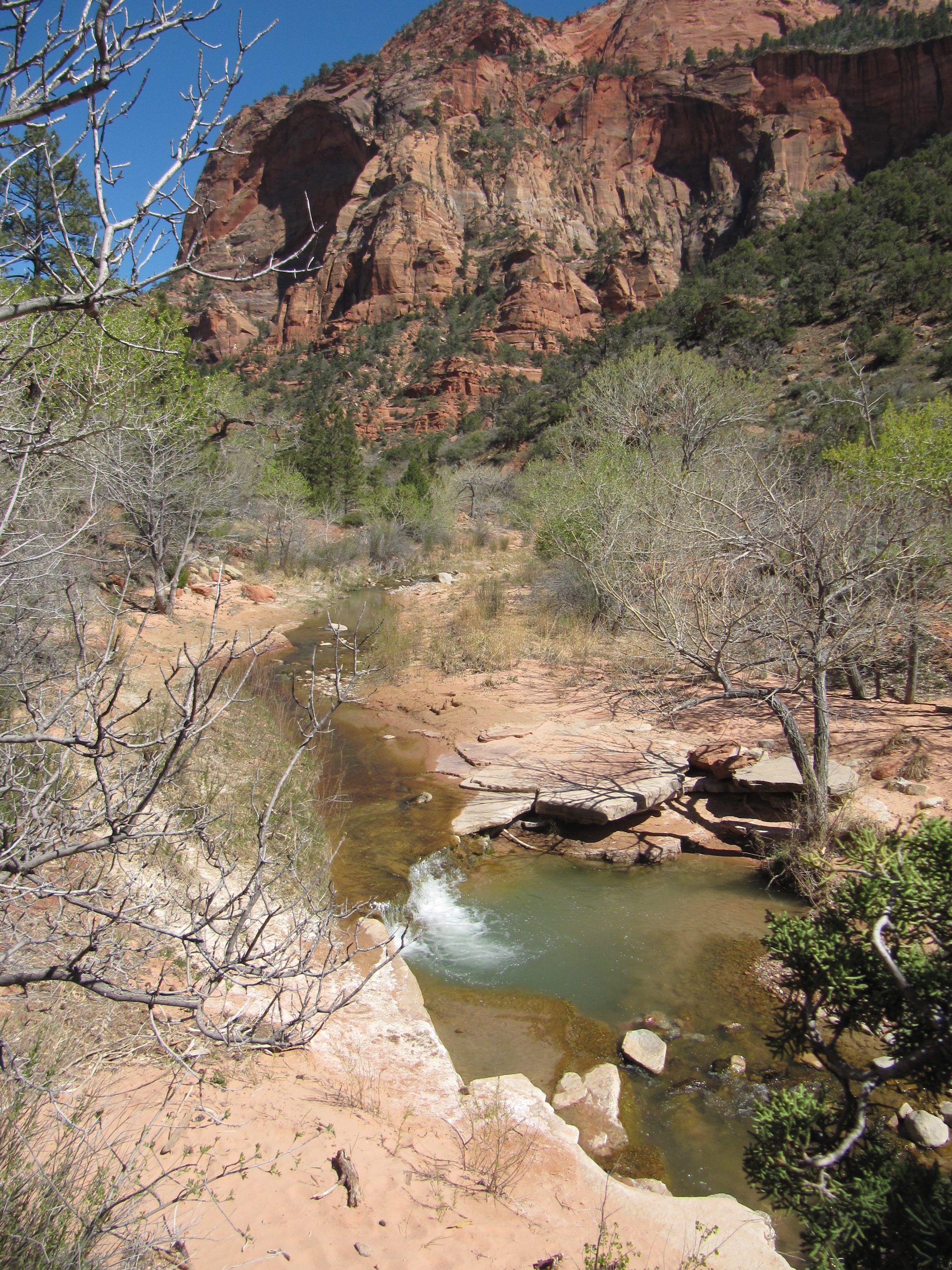
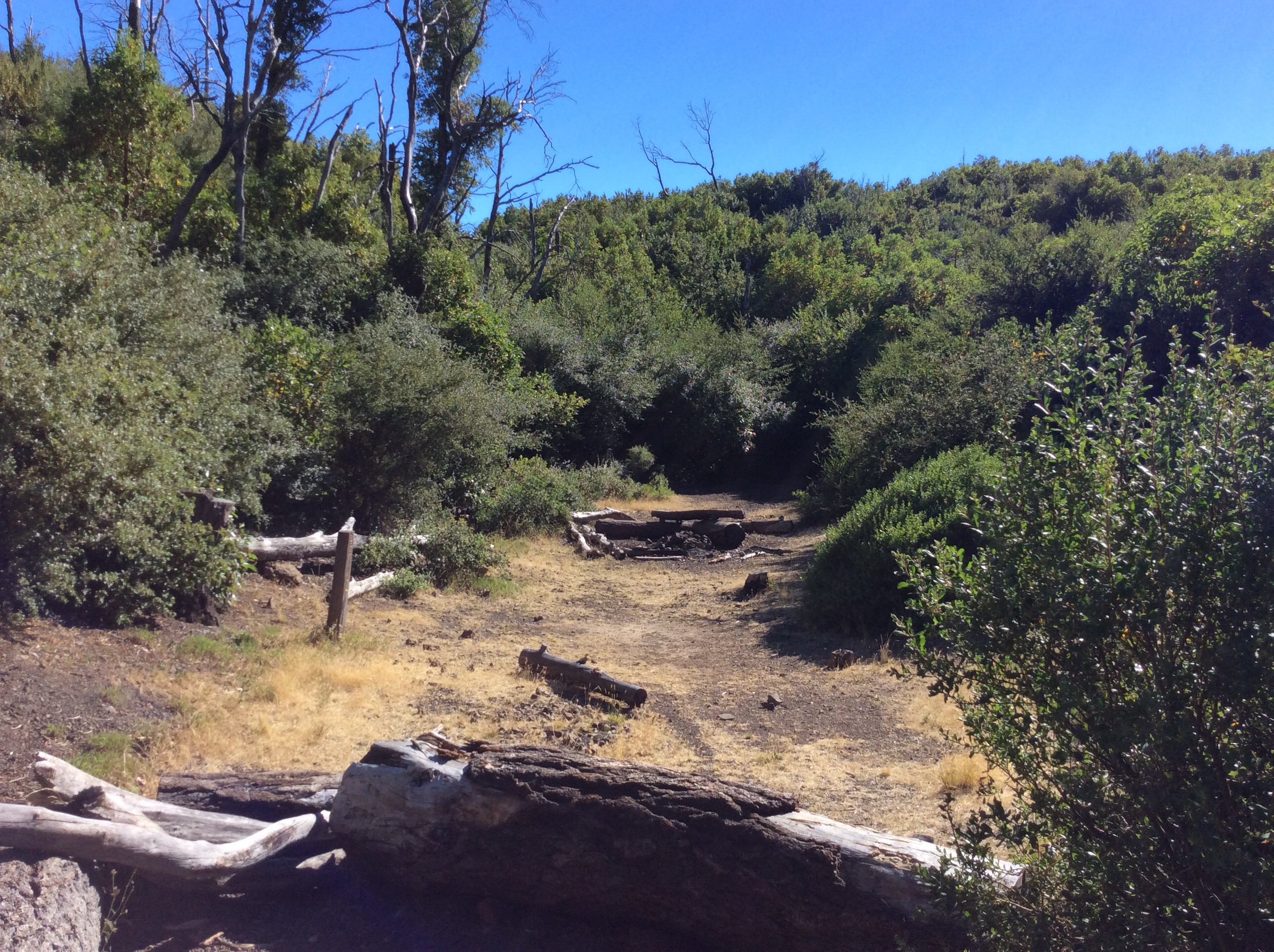
 The trail gets pretty lost once you make it to the ridge line and you need to watch ahead for sudden drop offs and push brush out of the way. Even though it is much hotter at the higher elevation it is a good idea to wear long pants to not get scratched up. We didn’t encounter our first rattlesnake until we were up on the ridge trail (where we found 2) and we just skirted them to the best of our ability. We did run into a ranger on our way up. He excitedly said he followed a bear down the trail we were about to head up on. It was a nice chat, though I suspect he thought we had built the fire pit he was quickly demolishing in the camp we stopped at to make some lunch. My husband had fallen into the creek when trying to find a safe way for me to cross. So we had to stop for a bit to dry him out. He and I take different strategies to stream crossing- I don’t mind taking the effort to take off my boots and roll up my pants and just wade through because I don’t’ trust my balance much. I think he likes the challenge of trying to puzzle the way out.
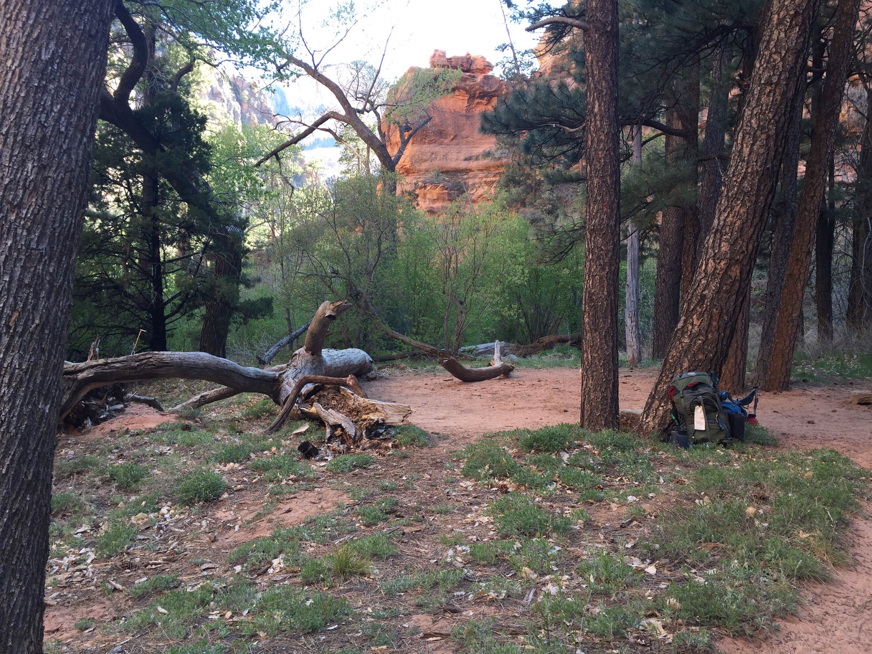
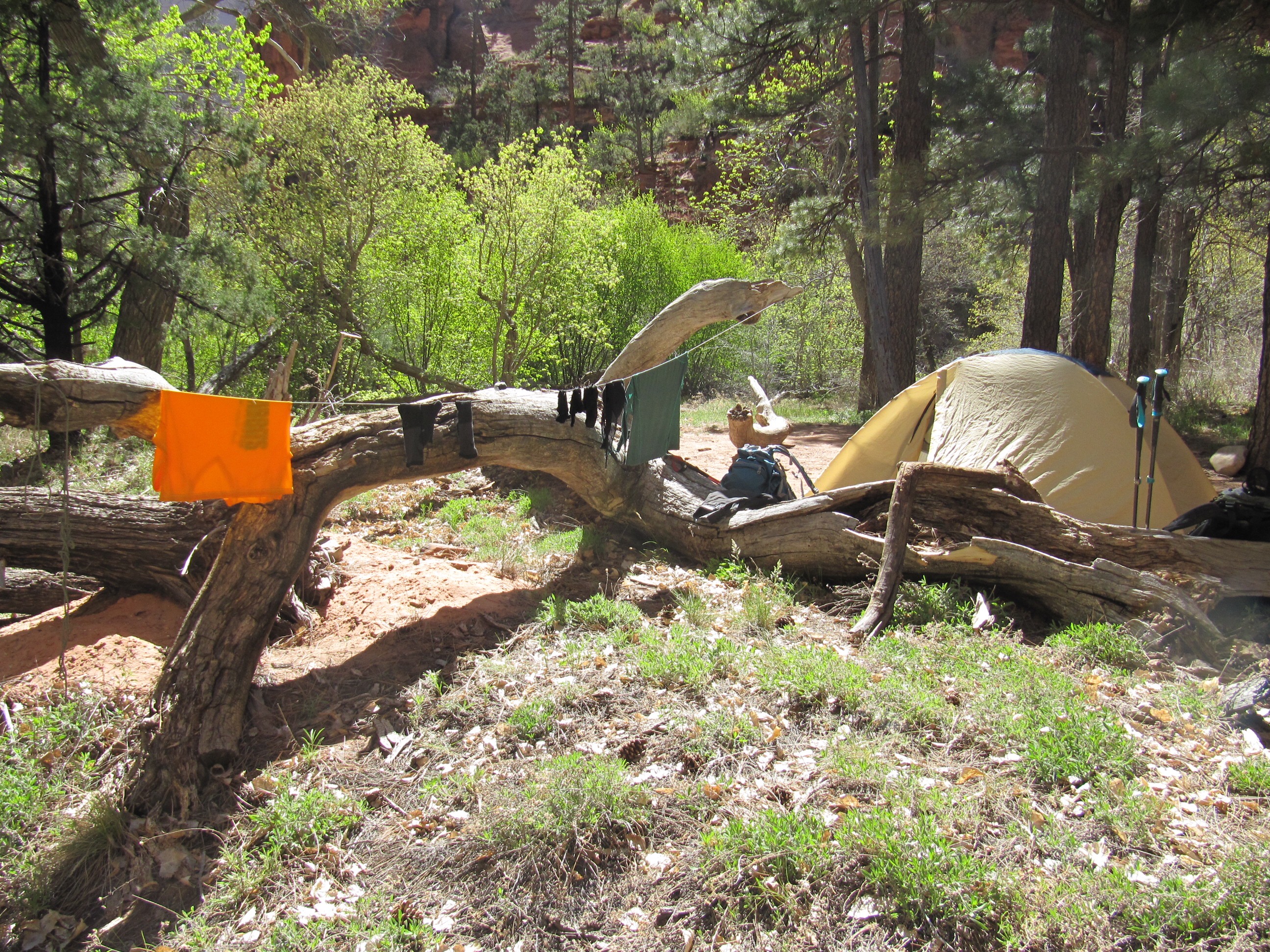
 It was a hard push to make it to camp before dark. I was nervous because we appeared to have about an hour of light left, but then made a turn that put us on the shady side of the mountain. I don’t mind hiking by headlamp except that we were on another series of switchbacks that were not the best defined and it was clear we couldn’t stop and just make camp in the steep terrain. We found camp right at dark and threw up the tent and crawled in. The site was also on an incline so we put our feet to the slope side and hoped to not slide in the night.
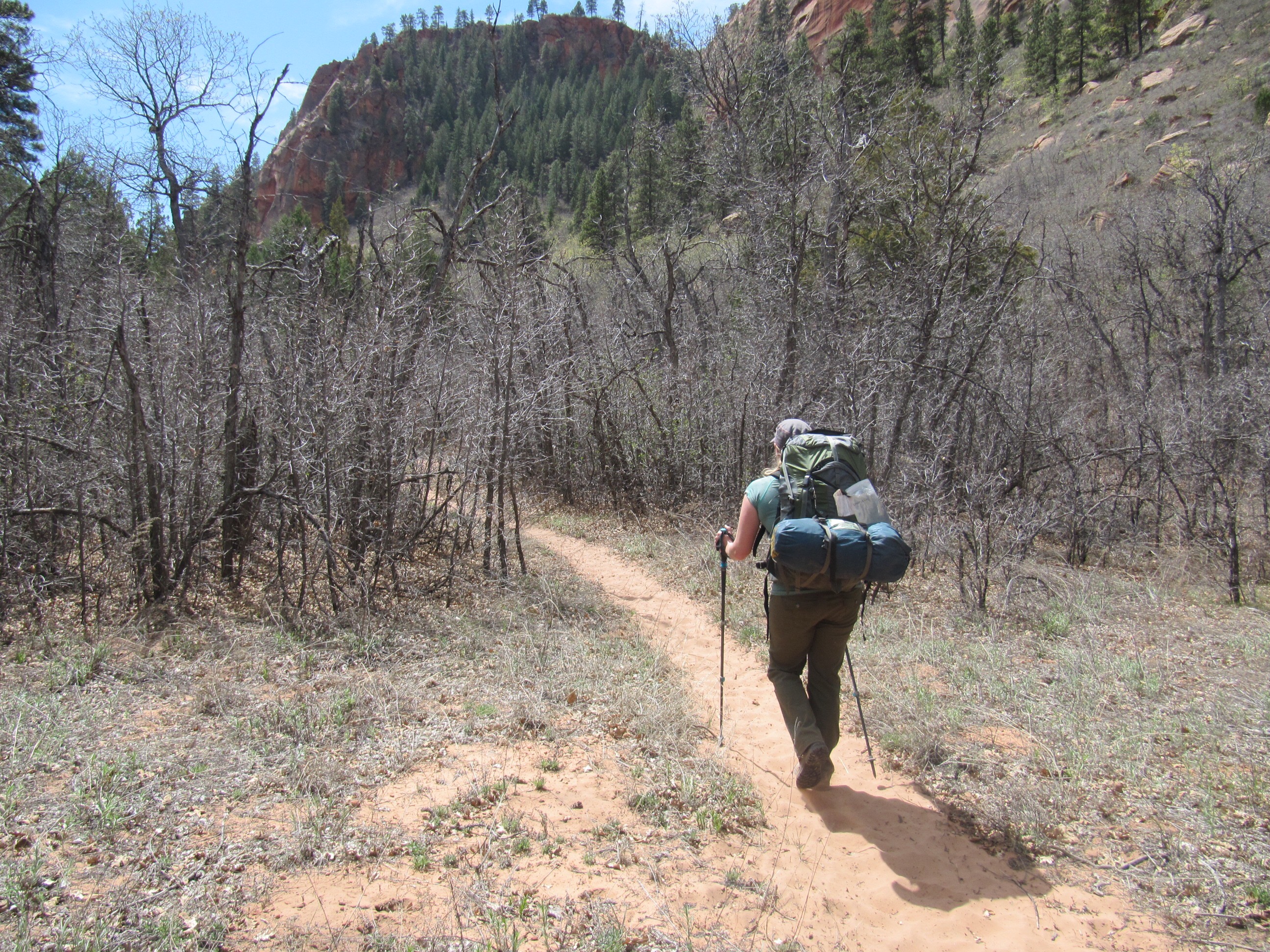
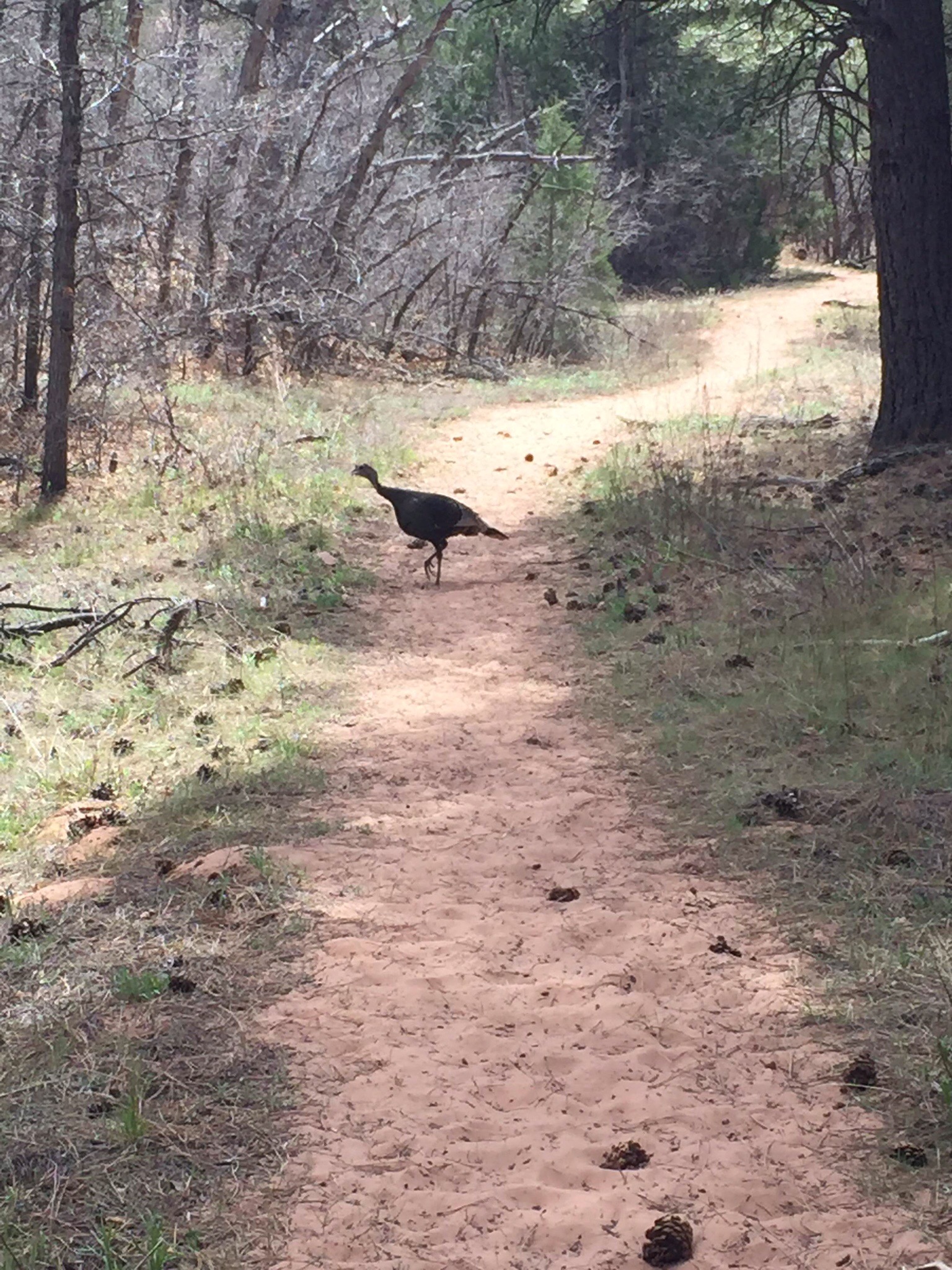
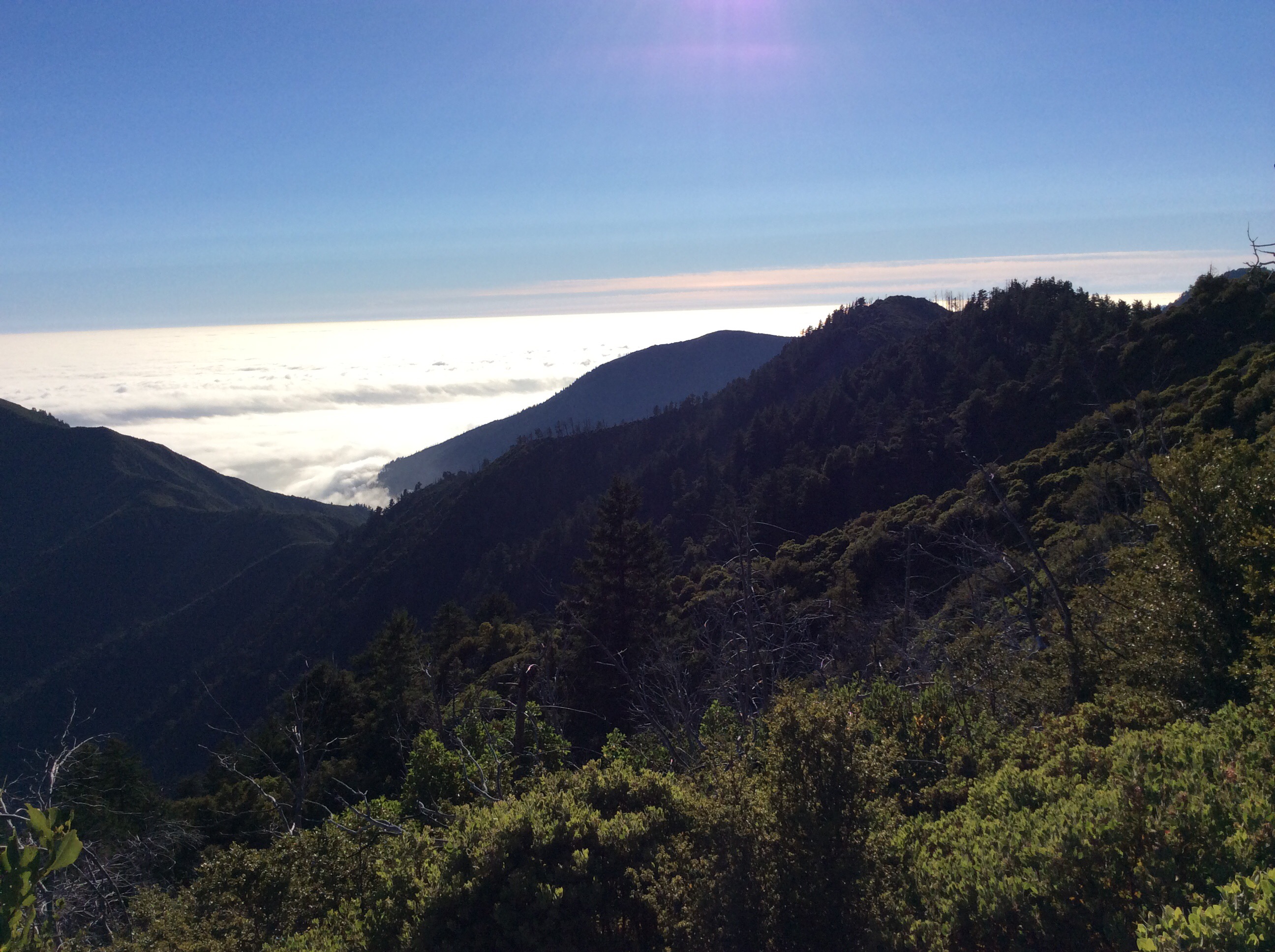
 Day three waking up was like unwrapping gifts on Christmas morning, the forested views out our tent were awesome. We had a leisurely breakfast and look around before packing it up to head back down. It was nice how the trail opened up later in the morning onto a wider- old Jeep/service road style of trail. We had been having to talk back and forth in single file all of the second day and it was nice to relax and stroll a bit (there may have even been a bit of hand holding). By midafternoon the pack weight on my husband was taking its toll and he was falling behind. This was when I had an experience with wildlife. (No not a bear, we didn’t see any- though we did see the remains of the fish they had eaten on the coast.) I was going down the middle of the wide trail, feeling pretty safe since I had a good view and was steering clear of the deadfall; when I heard the rattlesnake. It was up on the hillside along the road which put it right about eyelevel. He was bending and curling as I backed away, trying to put more distance between up. I was much closer to one of the ground the day before and didn’t think much of it, but having this one eye-to-eye still makes me shudder thinking of the damage he could have done me if he chose to strike my upper body.
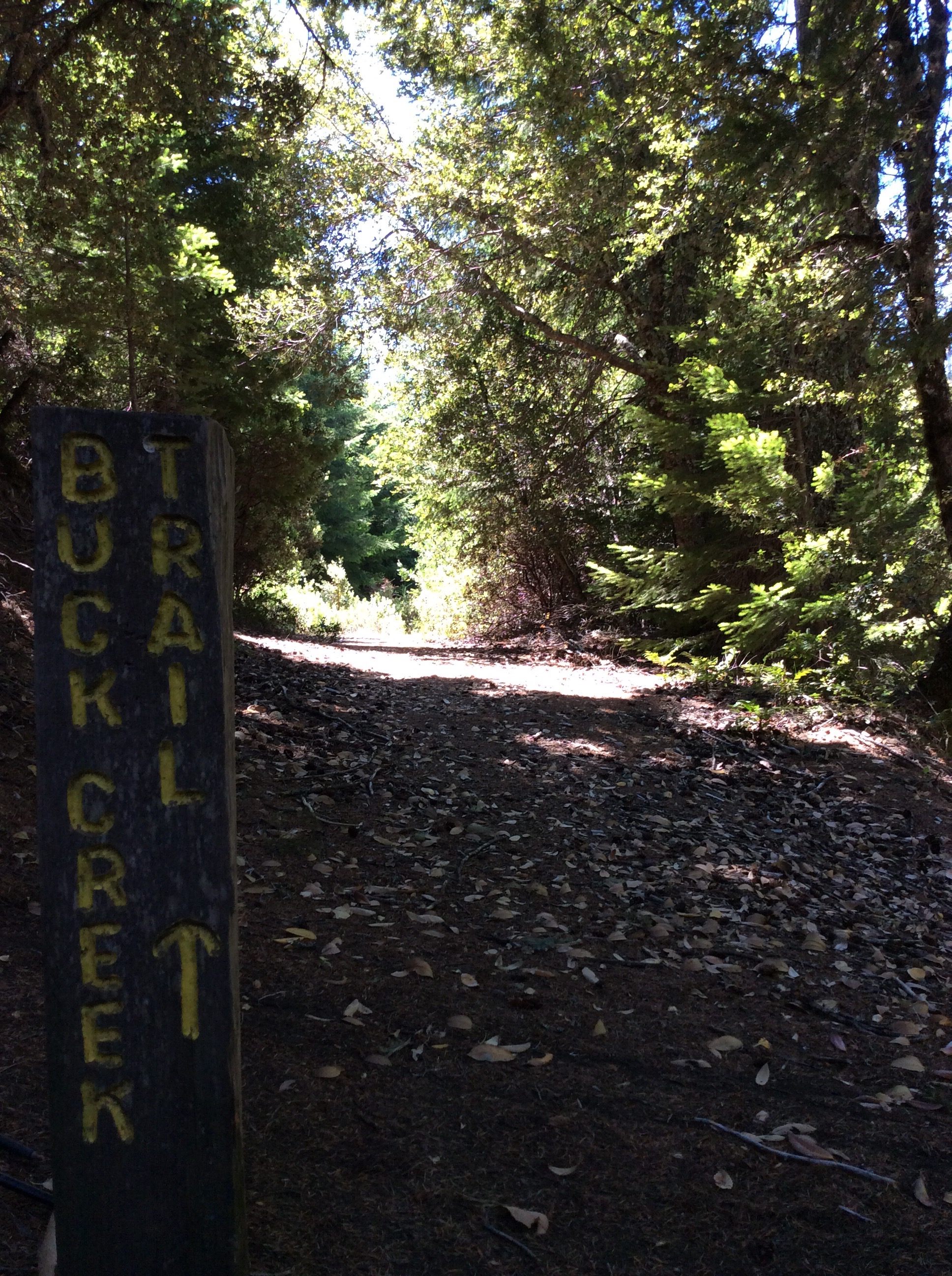 If day 2 was our day of doing nothing but climbing up, day 3 was nothing but coming down. My toes started to ache from being pushed forward in my boots. I must say though, Buck Trail was a much nicer trail to be on based on the shape, slope and vegetation along the way. I am glad we did the loop the way we did because the switchbacks on Rattlesnake were easier to climb up than they would have been to come down, but Buck Trail would make a nicer there and back trip. Once we hit the flat ground of the coast it was a tremendous relief to the muscles- which caused me to pick up the pace again (poor husband). We took a break when we hit the ocean again enjoying some time communing with the serenity of it all on the beach. Then headed back down the coast. It was pretty incredible how we had seemed so uncertain on our feet walking the rocky shore just a few days before and by day three we were surefooted and confident- which might just sum up the whole experience.