Zion National Park- Hop Valley Trail Part 1
Day three on the Trans-Zion trail.
Distance: Roughly 13 miles depending on camp choice.
Difficulty: Ranges from easy to moderate.
Water: Available but advised to not filter and drink.
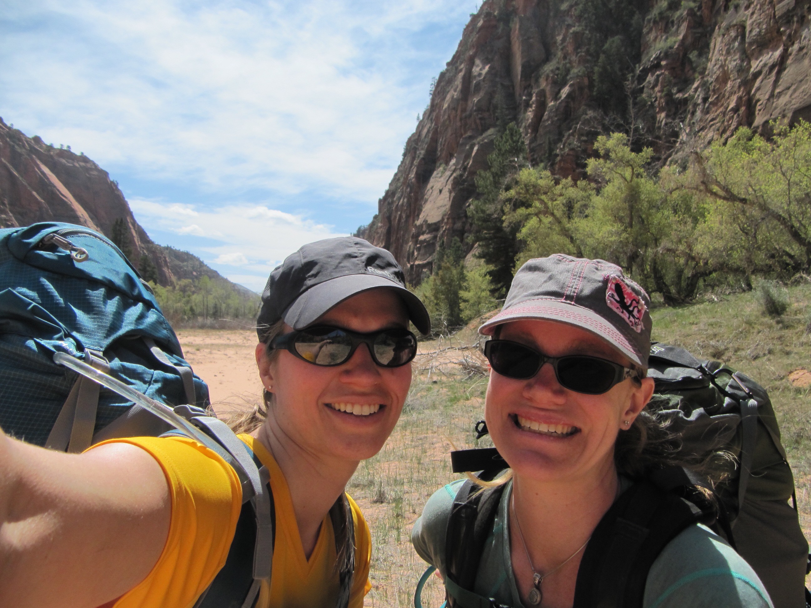
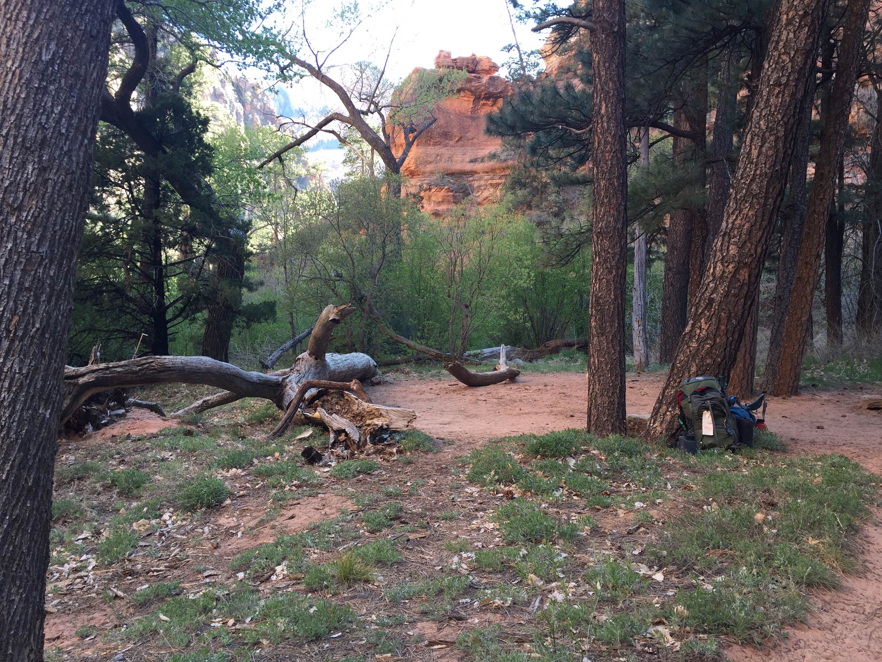
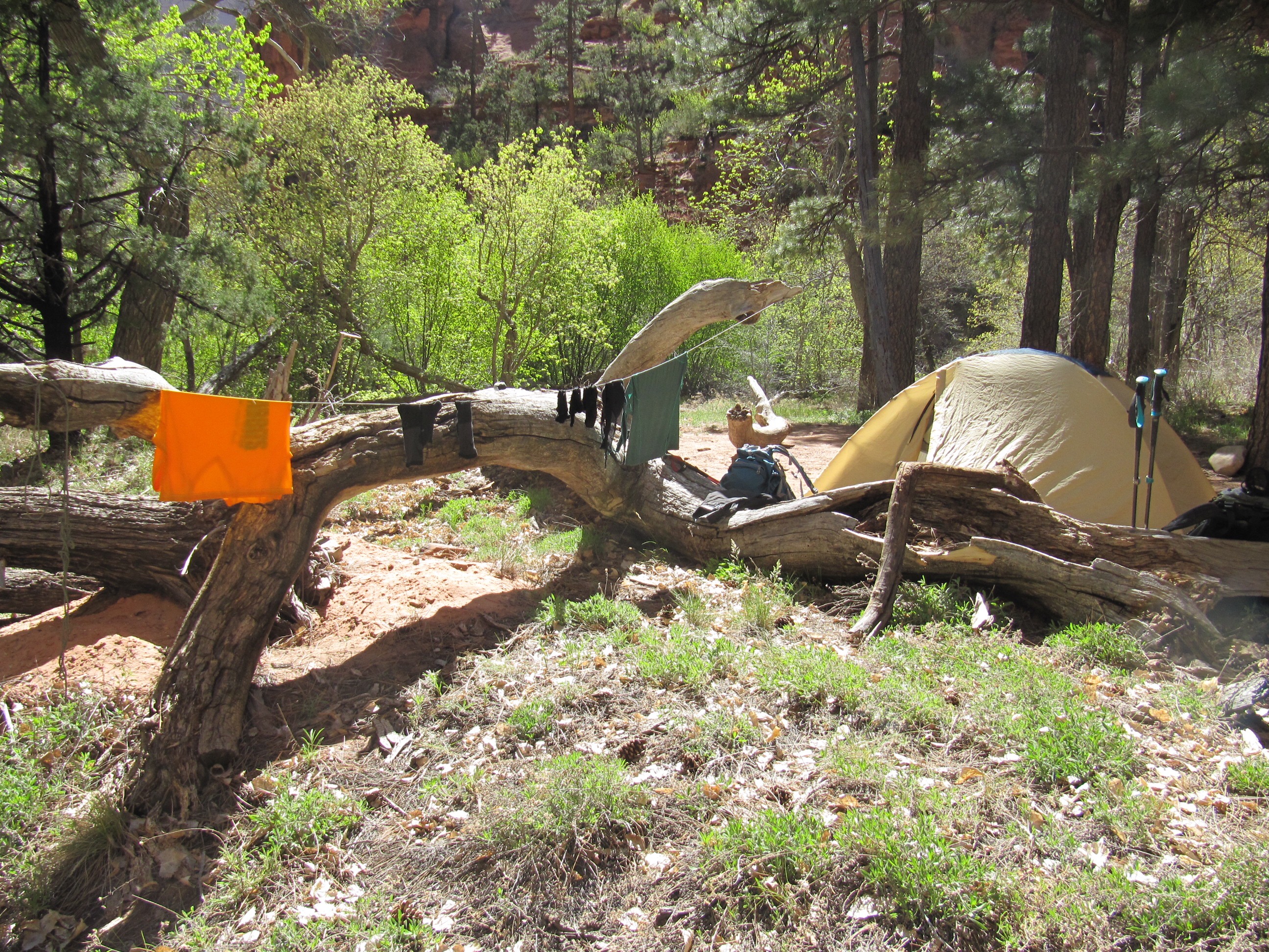
The Hop Valley Trail leading us to our camp-at-large permit site in the Wildcat Canyon was set to be our biggest day of challenges along the Trans-Zion; first of all it was our longest stretch of mileage in one day around 13 miles, and second it was the stretch that included no water sources and a dry camp once we made Wildcat Canyon. So we decided to get up early, break camp and hit the trail; which in our tucked away canyon camp with no sun until late morning ended up as an 8am wake up. Nearly as soon as we crawled out of our tent it changed from a still morning to a windy day with a tremendous wind that started breezing through the camp making our camp stove work double time to produce some luke warm tea water.
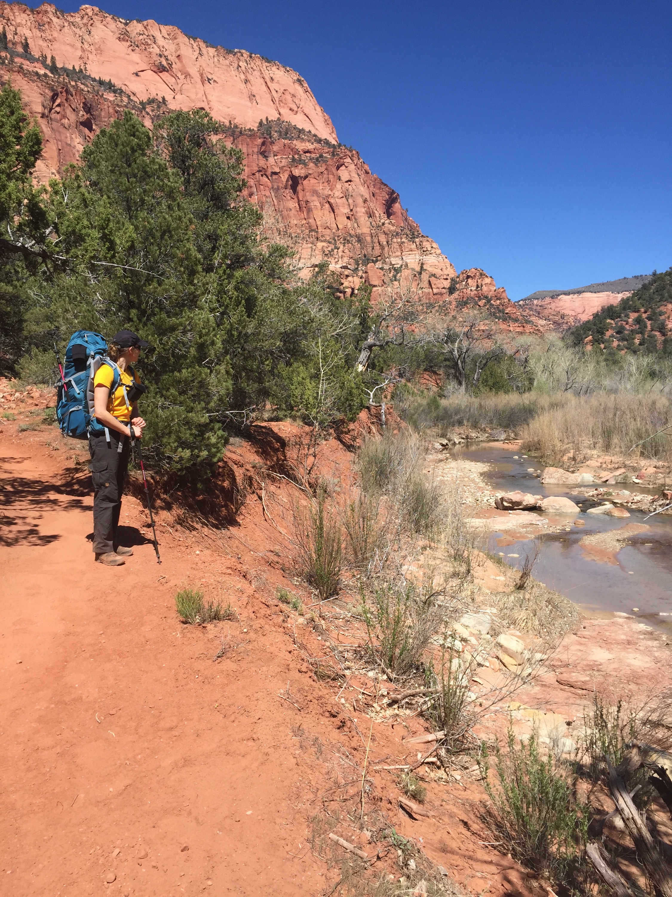
We chatted about the regrettable case of our camp requiring us to backtrack nearly an extra mile that would have been avoided if we had moved our camp further south the day before, but we concentrated on creek hopping and planned to tank up on 6 liters of water each once we hit Camp 10; only we stumbled upon the trailhead before Camp 10 (*spoiler alert: first big mistake of the day about to commence) we were advised that Beatty Spring was nearby but weren’t sure if it was along LaVerkin or the Hop Valley Trail and so decided to head up the Hop Valley and hope it appeared. Two things: first the ranger said that this is the biggest spring along the route, that the vegetation changes considerably and you could probably hear the spring as it was so big; second, the Hop Valley sign had scratched into it the word Spring (thanks fellow hikers) however, it had an arrow pointing one direction with an X through it and a new arrow pointing the opposite direction. Leading us to feel we might have faulty intel. at best. Now, we should have stopped and consulted the map and figured this all out but in our excitement we pushed on hoping for the best.
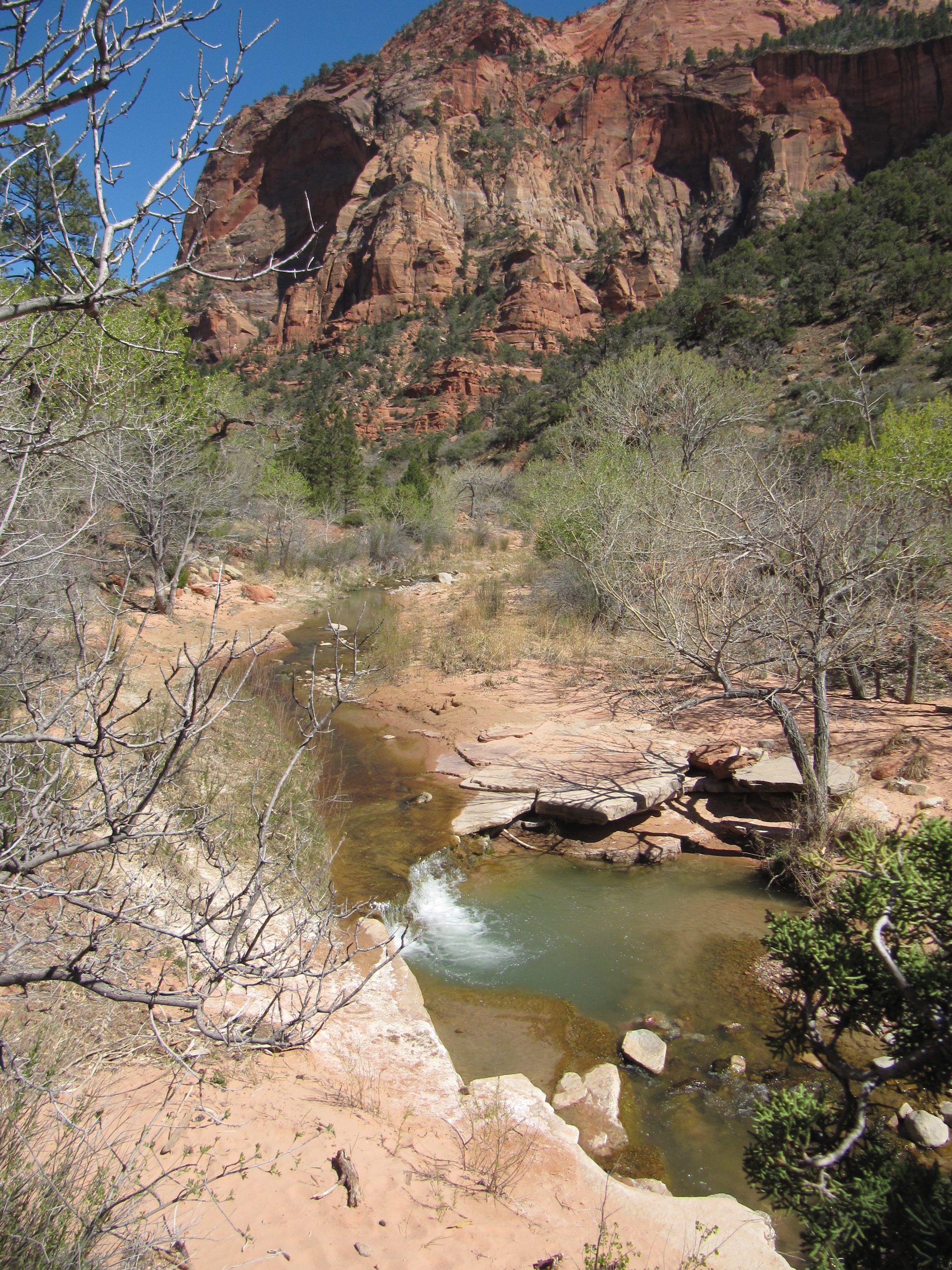
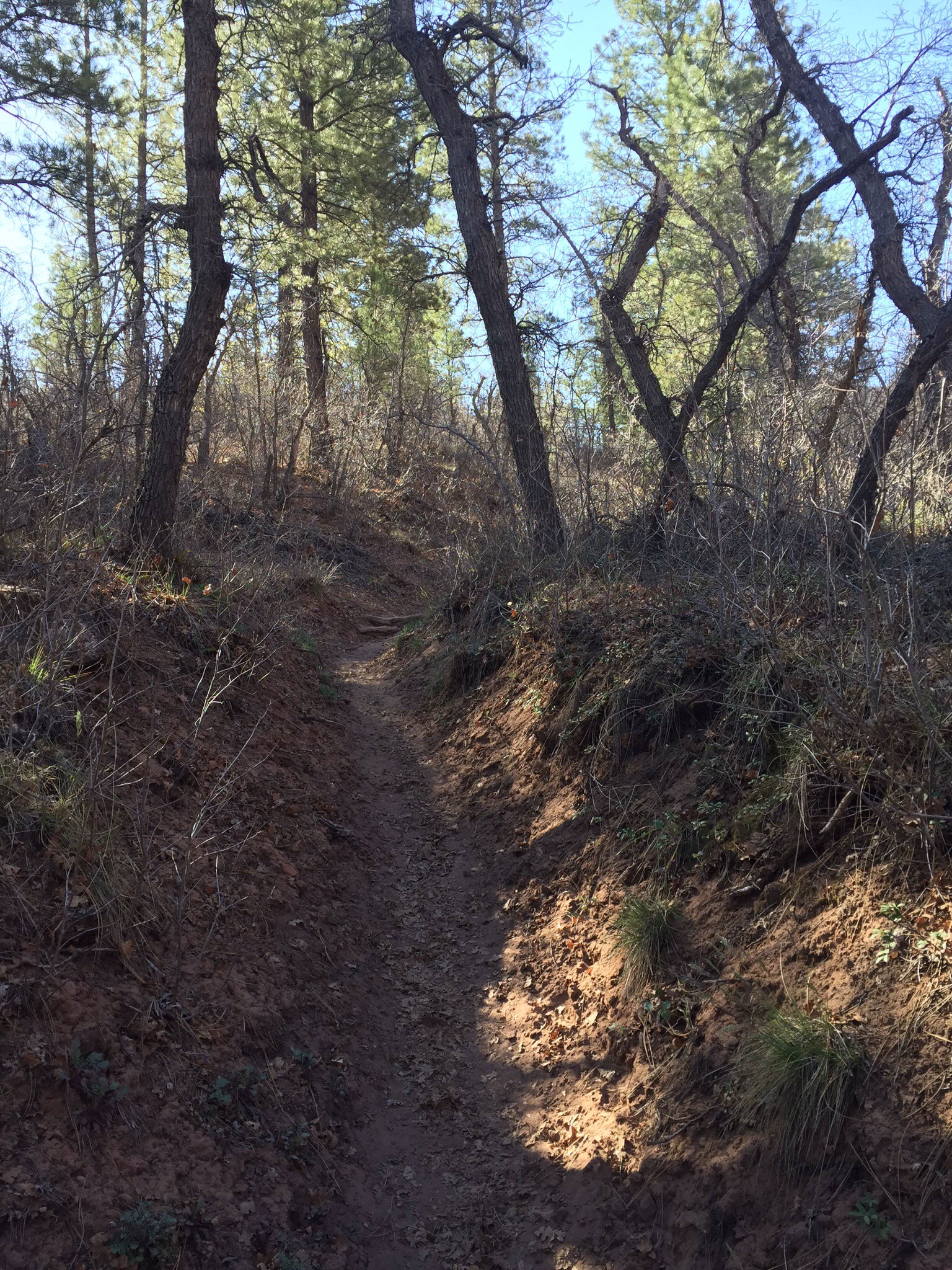
Hop Valley is, of course, a valley. To get into the valley the trail turns into a rocky uphill grind to get over the ridge between the creek and the valley. So we headed up continually looking to our right anticipating vegetation change to lush greenery and to hear the lovely tinkle of running water. After close to an hour of up and head careening right, we admitted defeat in finding the spring that was never along this section of trail to begin with. We assessed our situation, we were on the longest driest score of trail with less than 2 liters each. There is water in the Hop Valley but the warnings against drinking it (I kid you not here) ranged from “I would drink it filtered if I were dying, maybe.” to “If you are dehydrated, drink it.” (I really think these two opposing views were offered by the same ranger at different times, on the phone a week earlier and then in person the day we began.)My partner A.J. voted we push on and just plan to get water in Hop Valley and I voted to be cautious and head back to a large known water source, LaVerkin Creek. Prudence won out, and we ditched our packs in some scrub brush, fashioned very fashionable water carrying belts of cords and carbineers and headed back down the Hop Valley Trail. And then back over again once we had tanked up. (Mind you, still never finding the Beatty Spring even while we looked again, now to the left the entire way we went.) Curse you, only slightly mind you, Beatty Spring. Honestly, if the rangers had just said to ignore the spring as there is plenty of water in the same vicinity from the creek we would have saved a huge amount of time and effort.
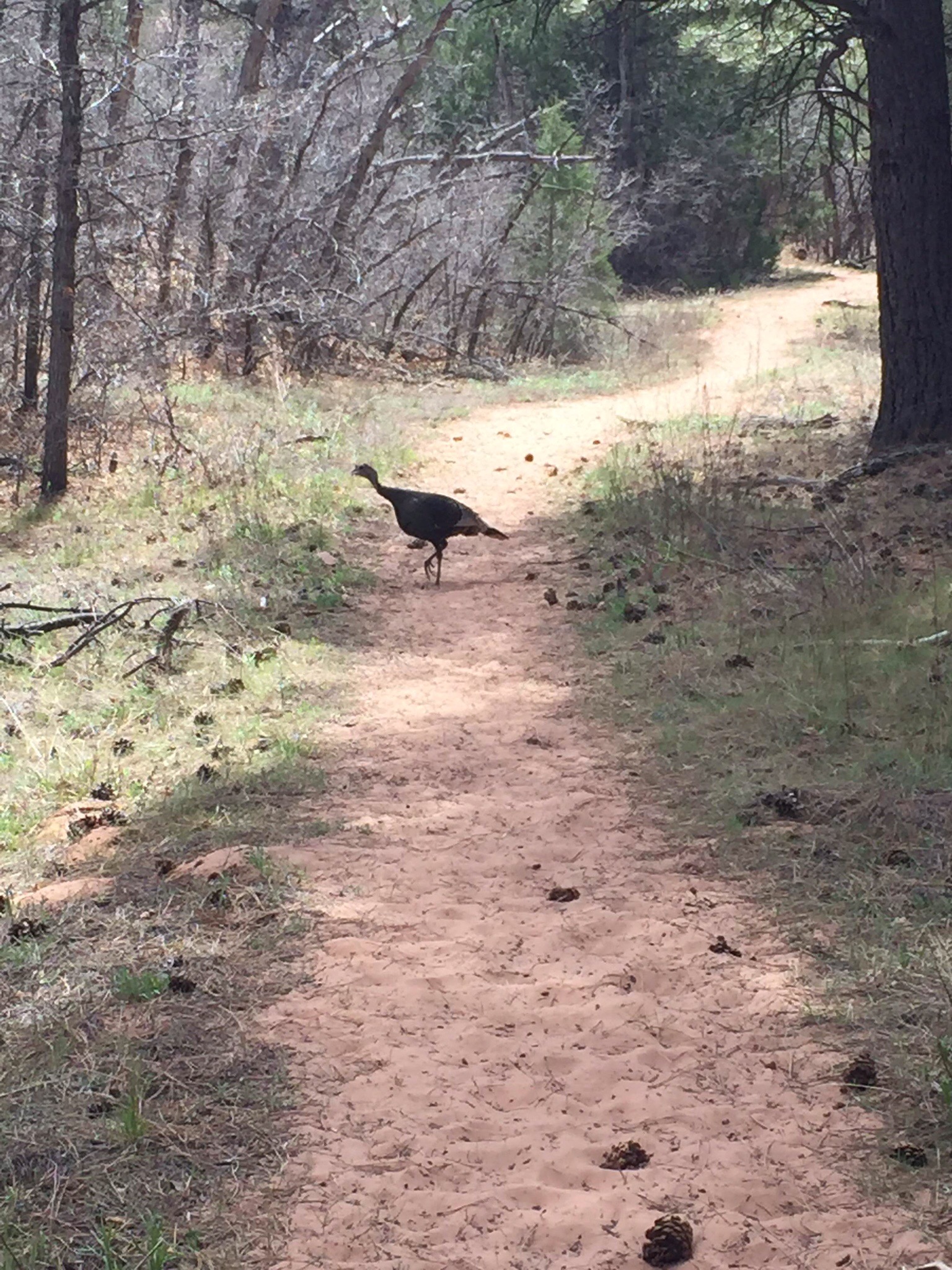
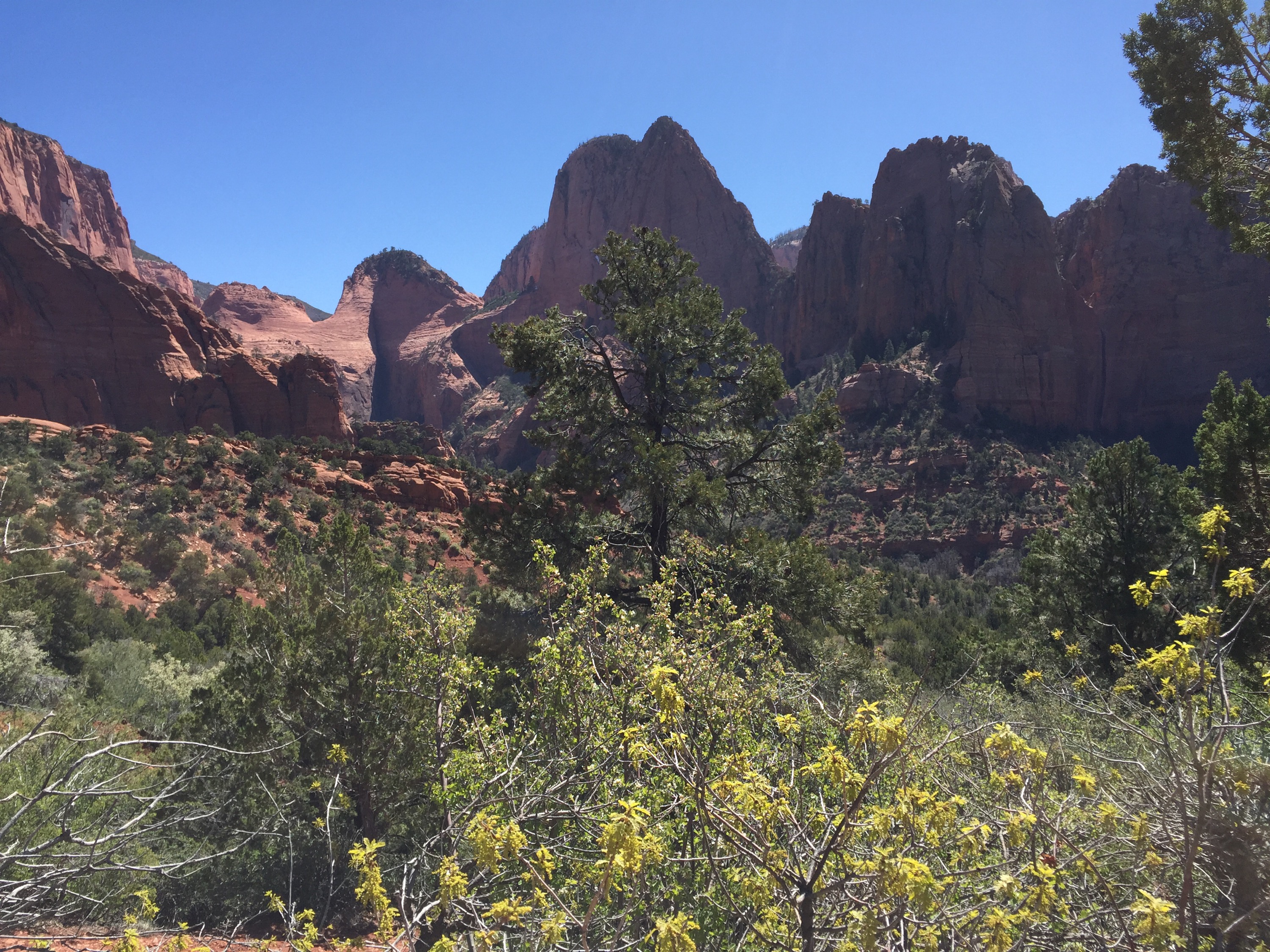
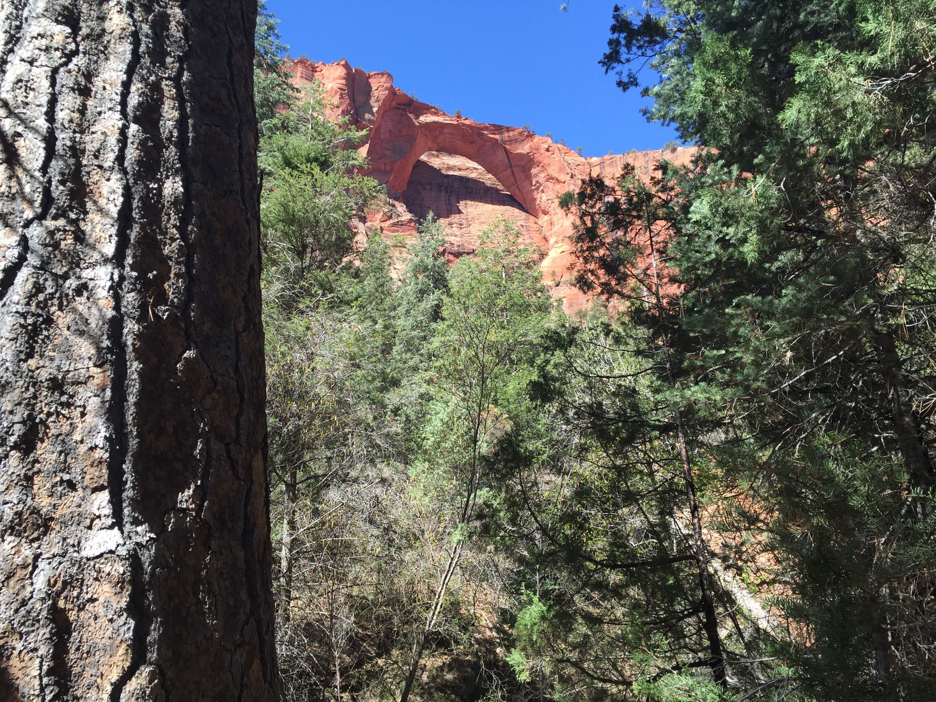
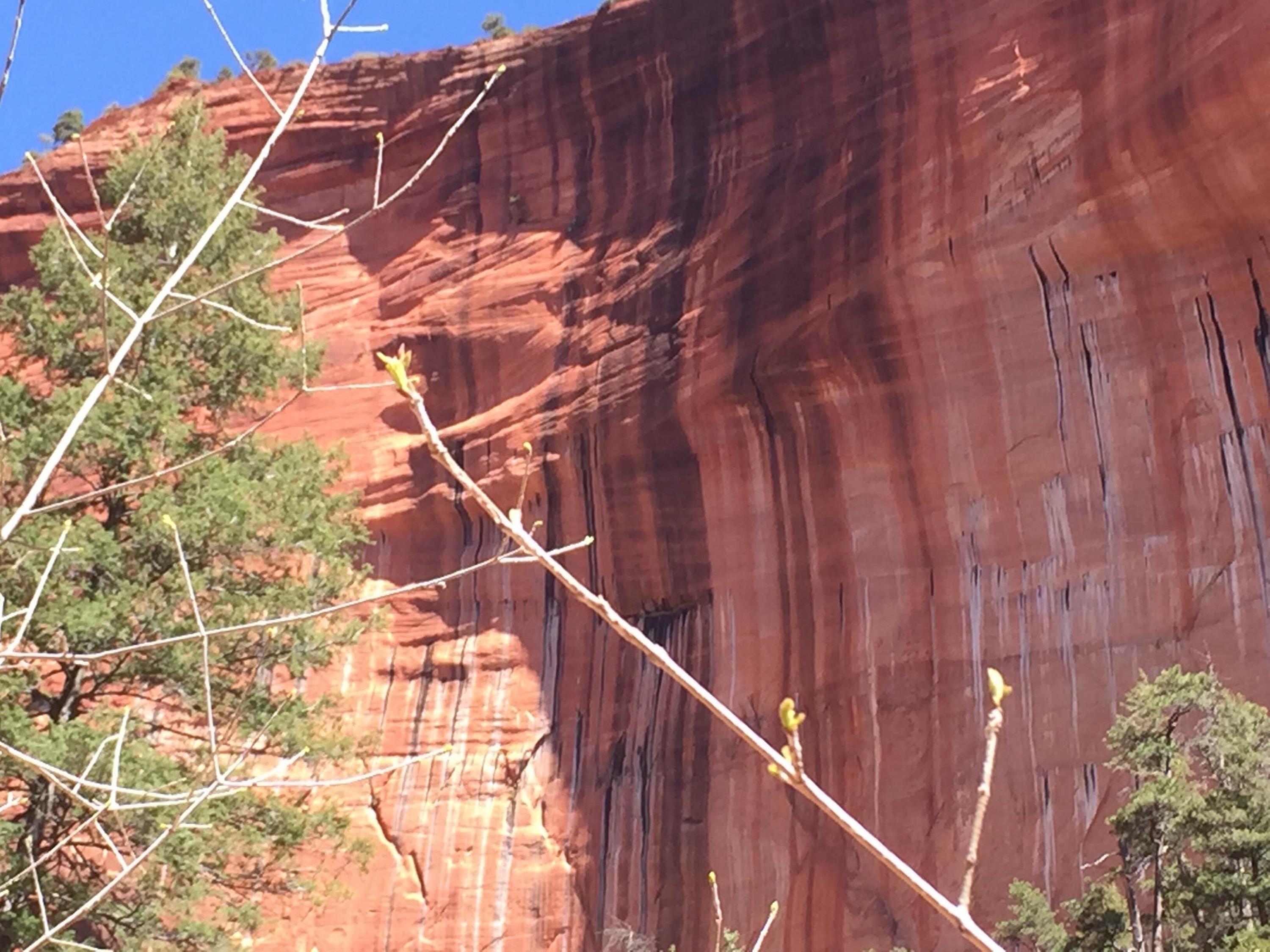
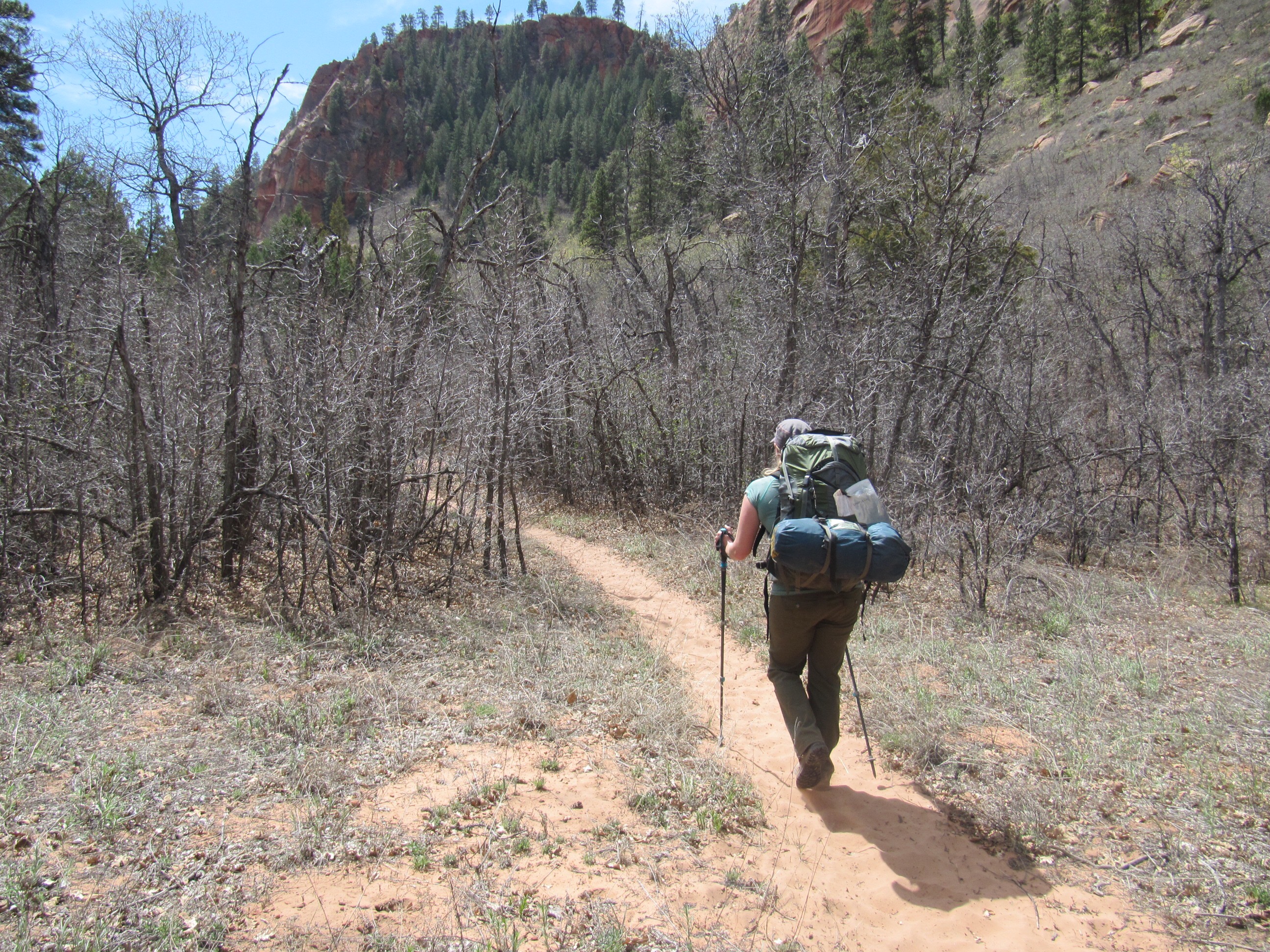
After finding our packs, having a quick snack and slathering on the sun screen we finally headed out to truly being the Hop Valley Trail. Staggering a bit under the nearly 10lbs of new weight. The trail begins with the rocky uphill climb, levels off in a rather narrow valley where we were welcomed by wild turkeys, and then descends further down another rocky bit to finally come into the large beautiful Hop Valley. The entire landscape opens up with water meandering along a sandy bottom, pastures and more gorgeous rock formations lining the valley walls as far as the eye can stretch.
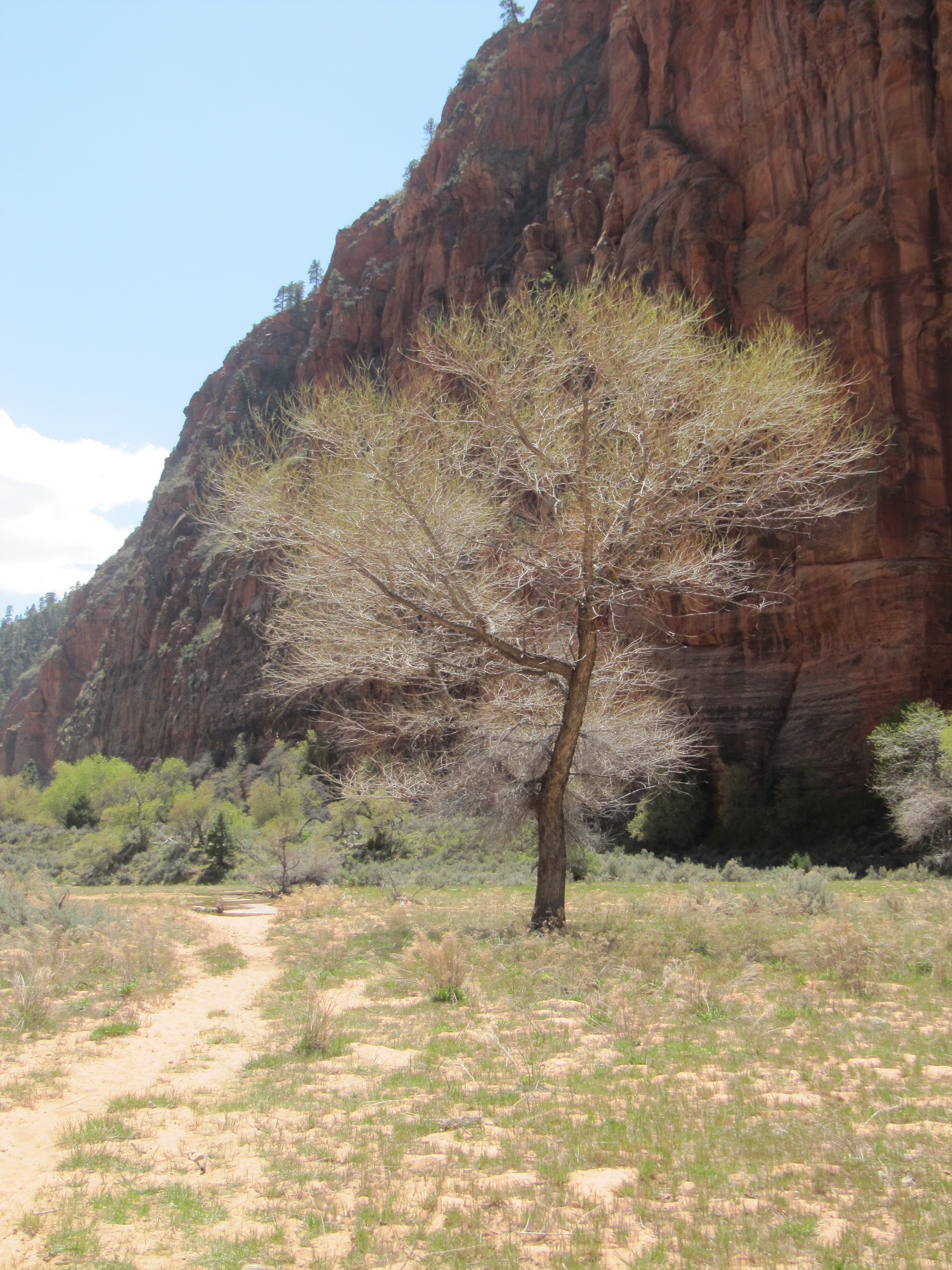
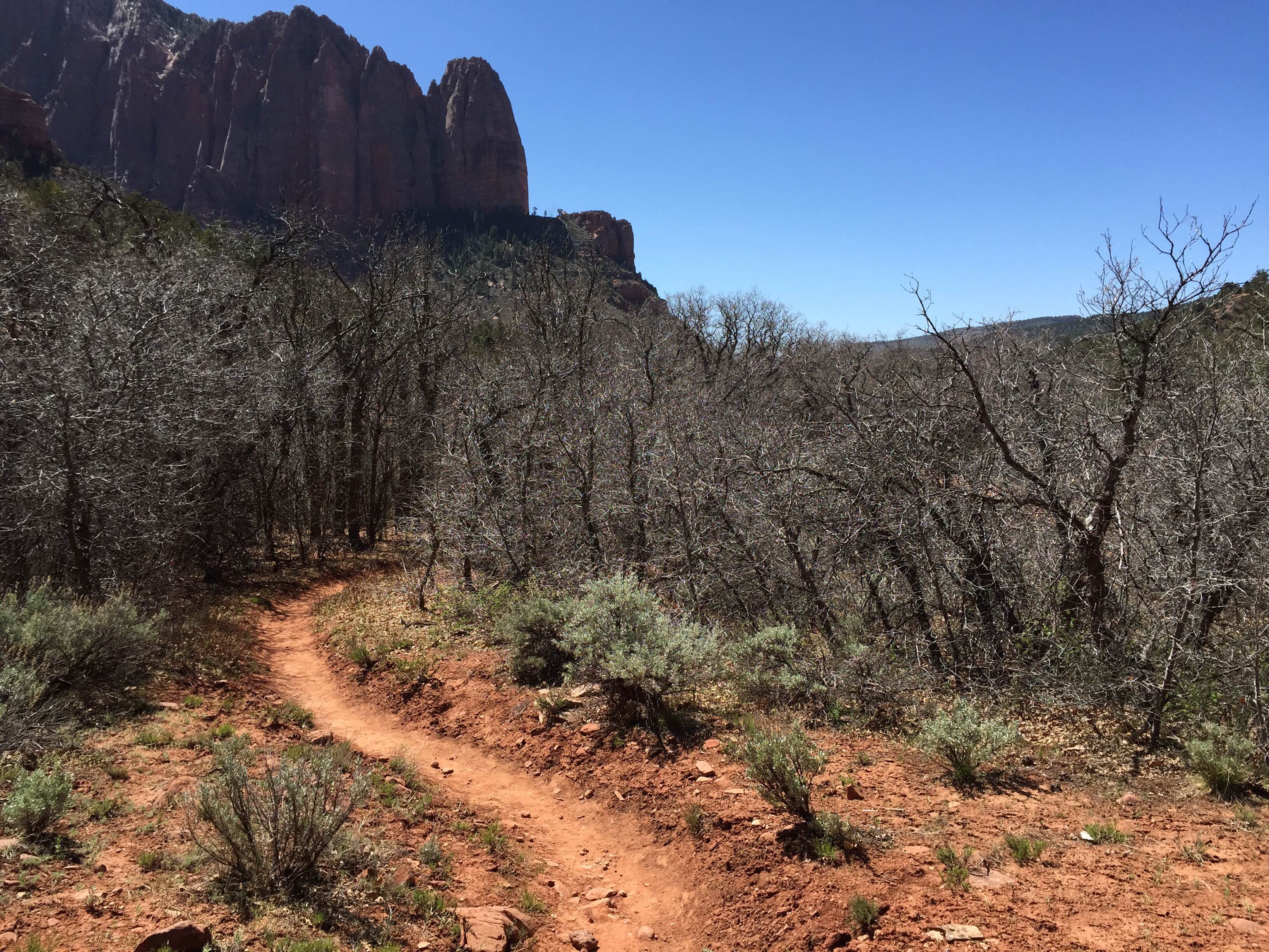
Regal trees pop up in unexpected places as you pump out the easiest set of miles over the entire day. You immediately cross the water (you will cross back and forth the entire way) and find the trail by the marker. We were warned the trail is sand, and sand it is. Heavy beach walking kinda sand, with your heaviest pack- yep. You quickly find the two camps as they are on the closest end of the valley, and can’t help but fantasize a bit about hefting your pack off, setting up camp and lying under one of the gorgeous trees in the grass reading a novel or taking a nap. Instead we pressed on enchanted by the wonder of our surroundings but one factor was become non-enchanting: the wind. A.J. had her contacts in and the strong steady headwind kicked up dirt into our eyes causing several blinking stops and it forced us to lean in further. This was the first portion of the trail that felt like we owned the place without another soul around and the flat terrain made for some relatively easy miles. There is evidence of cow grazing mainly in the way of old fence posts and cowpies. We didn’t see any more turkeys but it was fun seeing their tracks down by the water- huge feet!
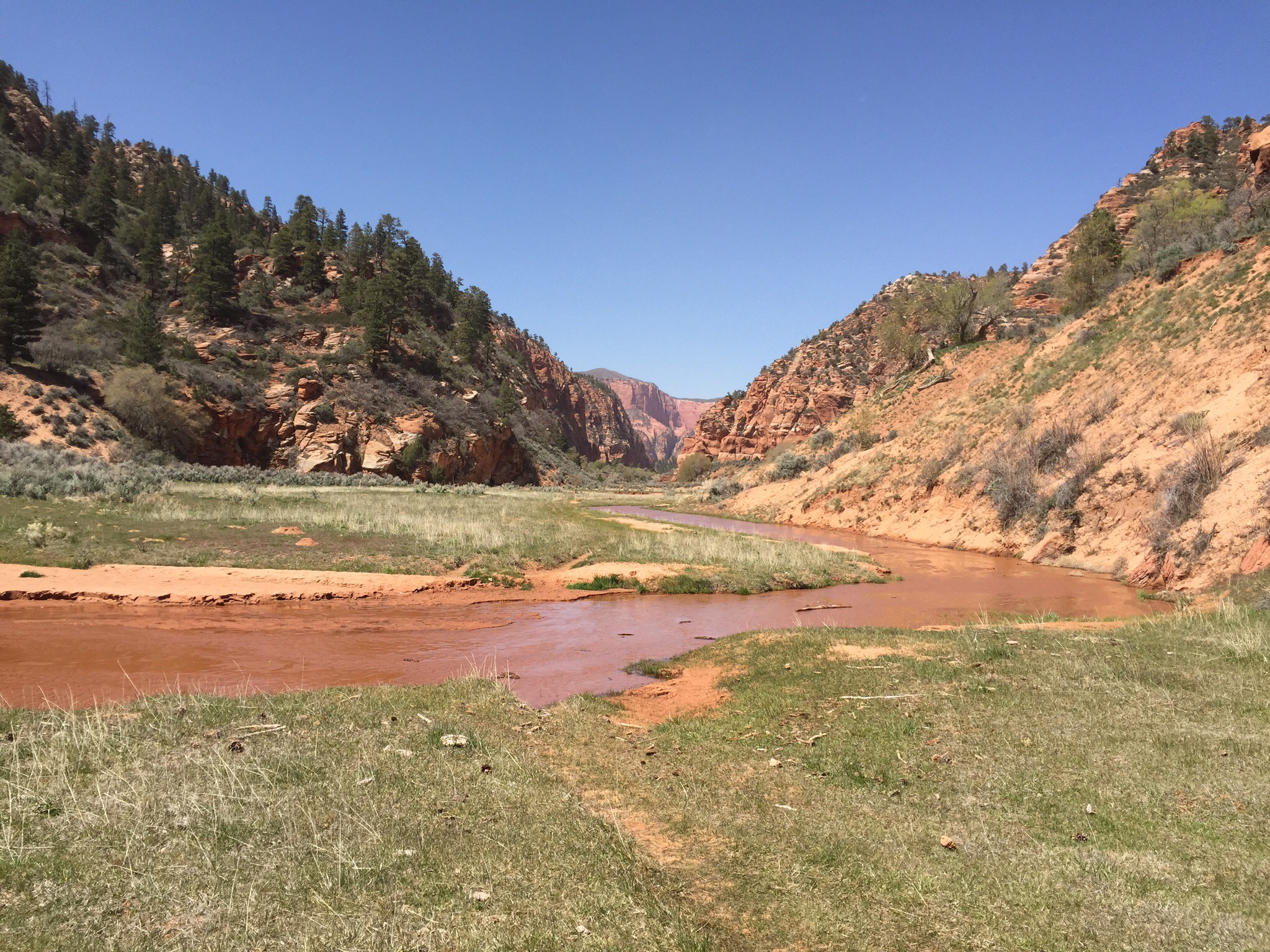
There are not a lot of signs pointing the way, but there were tons of boot prints. It didn’t always pay to follow the boot prints as several times they led in a way that clearly many people thought was the way but actually wasn’t. With the sandy sand on the trail and the compact sand along the water, I would suggest keeping the trial within sight but walking along the water instead; knowing that you are in a valley and you came in one direction and have to leave in the other direction. Now when you get to the end of the valley it is inexplicably confusing. The water will decidedly turn left and head between two rock walls, the trail will appear to keep heading straight ahead, and then there is a trail marker that appears to point straight up a hill where there are countless boot prints all around. If you stand directly in front of the trail marker and face the way it is pointing you will find it isn’t really pointing up the hill, and the trail is so worn that it is pretty easy to decide to keep heading in the correct direction; I can only assume the marker is where it is due to the boundaries of private property that are clearly marked in the area. We did encounter one other party of a man and woman heading in the opposite direction, we found out from them that the wind was forecasted to hit up to 65 mile per hour gusts and turn in the night to come from the North. It is funny how the wind felt much harder to battle after that news; but I kept saying wind is easier than rain to deal with.